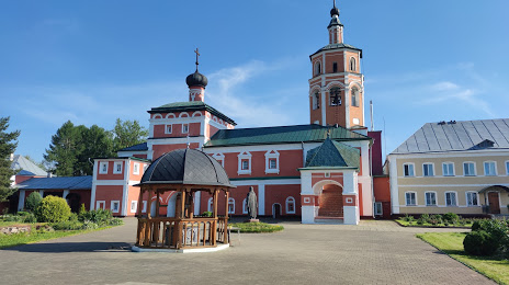
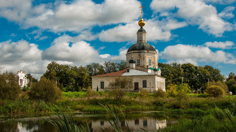
Sursk — Ayan
Sursk — Vsevolozhsk
Sursk — Svetly
Sursk — Sibirtsevo
Sursk — Poselok Novosineglazovskiy
Sursk — Raduzhny
Sursk — Nepryakhino
Sursk — Totsky District
Sursk — Gorodets
Sursk — Kolchugino
Sursk — Sukovo
Sursk — Choga
Sursk — Magadan Airport
Sursk — Nemki
Sursk — Pogromnoye
Sursk — Sukhinichi
Sursk — Gadelgareevo
Sursk — Novouzensk
Sursk — Zenino
Chemodanovka
Zarechny
Penza
Bessonovka
Ramzay
Mokshan
Podgornoye
Nizhny Lomov
Spassk
Zubova Polyana
Umet
Shatsk
Mosolovo
Ist'ye
Troitsa
Ryazansky District
Aleksandrovo
Rybnoye
Fruktovaya
Lukhovitsy
Troitskiye Ozyorki
Korobcheevo
Nizhnee Khoroshovo
Nizhneye Khoroshovo
Severskoye
Nepetsino
Fominskoye
Moscow Oblast
Tolmachevo
Zhitnevo
Belye Stolby
Shebantsevo
Dolmatovo
Lviv
Bol'shoye Tolbino
Troitskoye
Kurilovo
Chirikovo
Terekhovo
Shishkin Les
Isakovo
Sursk — Vyazma distance, route on the map
Distance by car
Distance between Sursk, Penza Oblast, Russian Federation and Vyazma, Smolensk Oblast, Russian Federation by car is — km, or miles. To travel this distance by car, you need minute, or h.
Route on the map, driving directions
Car route Sursk — Vyazma was created automatically. The road on the map is shown as a blue line. By moving the markers, you can create a new route through the points you need.
Passing cities through which the car route passes: Gorodishche, Chemodanovka, Zarechny, Penza, Bessonovka, Ramzay, Mokshan, Podgornoye, Nizhny Lomov, Spassk, Zubova Polyana, Umet, Shatsk, Mosolovo, Ist'ye, Troitsa, Ryazansky District, Aleksandrovo, Rybnoye, Fruktovaya, Lukhovitsy, Troitskiye Ozyorki, Korobcheevo, Nizhnee Khoroshovo, Nizhneye Khoroshovo, Severskoye, Nepetsino, Fominskoye, Moscow Oblast, Tolmachevo, Zhitnevo, Belye Stolby, Shebantsevo, Dolmatovo, Lviv, Bol'shoye Tolbino, Troitskoye, Kurilovo, Chirikovo, Terekhovo, Shishkin Les, Isakovo.
Distance by plane
If you decide to take a trip Sursk Vyazma by plane, then you have to fly the distance — 779 km or 483 miles. It is marked on the map with a gray line (between two points in a straight line).
Flight time
Estimated flight time Sursk Vyazma by plane at cruising speed 750 km / h will be — 1 h. and 2 min.
Direction of movement
Russian Federation, Sursk — right-hand traffic. Russian Federation, Vyazma — right-hand traffic.
Difference in time
Sursk and Vyazma are in the same time zone. Between them there is no time difference (UTC +3 Europe/Moscow).
Interesting Facts
Information on alternative ways to get to your destination.
The length of this distance is about 1.9% of the total length of the equator.
The percentage of the population is clearly shown in the graph:
Sursk — 7,623 (less by 49,569), Vyazma — 57,192 residents.
The cost of travel
Calculate the cost of the trip yourself using the fuel consumption calculator, changing the data in the table.