
 Bel-Ha
San Jose El Alto
El Porvenir
Nueva Palestina
Santa Lucía
Chemax
La Morita
Temoac
Zacualpan
Bel-Ha
San Jose El Alto
El Porvenir
Nueva Palestina
Santa Lucía
Chemax
La Morita
Temoac
Zacualpan
Museo Arqueológico Caxitlán on the map, Tecoman, Mexico
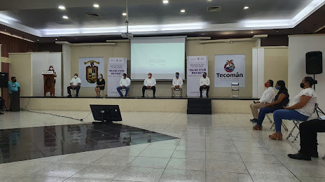
Photo
Where is located Museo Arqueológico Caxitlán
Museo Arqueológico Caxitlán — local attraction, which is located at Av. Insurgentes 1000, Unión Sur, 28110 Tecomán, Col., Mexico and belongs to the category — museum. Average visitor rating for this place — 3.2 (according to 5 ratings, information from open sources and relevant for 2022).
Exact location — Museo Arqueológico Caxitlán, marked on the map with a red marker.
You can get directions to Museo Arqueológico Caxitlán on the map from your location.
What else is interesting in Tecoman? You can see all the sights if you go to the city page.
Coordinates
Museo Arqueológico Caxitlán, Mexico coordinates in decimal format: latitude — 18.925374117335657, longitude — -103.88329327555172. When converted to degrees, minutes, seconds Museo Arqueológico Caxitlán has the following coordinates: 18°55′31.35 north latitude and -103°52′59.86 east longitude.
Nearby cities
The largest cities that are located nearby:
- Colima — 39 km
- Manzanillo — 53 km
- Uruapan — 198 km
- Tlaquepaque — 199 km
- Zapopan — 200 km
- Tonalá — 200 km
- Guadalajara — 200 km
- Zamora — 203 km
- Puerto Vallarta — 237 km
- Morelia — 292 km
- Tepic — 305 km
- Irapuato — 325 km
- Salamanca — 331 km
- León — 332 km
- Celaya — 364 km
- Aguascalientes — 366 km
- Santiago de Querétaro — 405 km
- San Juan del Río — 435 km
- Toluca — 442 km
Distance to the capital
Distance to the capital (Mexico City) is about — 502 km.