
 A Guarda
Manacor
Aranjuez
Segura
Xaló
Pinos Puente
Lasarte-Oria
Mutilva Baja
San Telmo
Salvador de Zapardiel
Los Corrales de Buelna
Pedreguer
Baena
Cartagena
Fisterra
Oñati
Guadalaviar
A Pobra do Caramiñal
Cabrera de Mar
A Guarda
Manacor
Aranjuez
Segura
Xaló
Pinos Puente
Lasarte-Oria
Mutilva Baja
San Telmo
Salvador de Zapardiel
Los Corrales de Buelna
Pedreguer
Baena
Cartagena
Fisterra
Oñati
Guadalaviar
A Pobra do Caramiñal
Cabrera de Mar
Elgoibar on the map, Spain
Where is located Elgoibar
Exact location — Elgoibar, Gipuzkoa, Euskadi, Spain, marked on the map with a red marker.
Coordinates
Elgoibar, Spain coordinates in decimal format: latitude — 43.2157113, longitude — -2.4128202. When converted to degrees, minutes, seconds Elgoibar has the following coordinates: 43°12′56.56 north latitude and -2°24′46.15 east longitude.
Population
Elgoibar, Gipuzkoa, Euskadi, Spain, according to our data the population is — 10,551 residents, which is about 0% of the total population of the country (Spain).
Comparison of the population on the graph:
Exact time
Time zone for this location Elgoibar — UTC +2 Europe/Madrid. Exact time — friday, 4 april 2024 year, 06 h. 32 minutes.
Sunrise and sunset
Elgoibar, sunrise and sunset data for a date — friday 19.04.2024.
| Sunrise | Sunset | Day (duration) |
|---|---|---|
| 07:23 -1 minute | 20:54 +2 minutes | 13 h. 30 minutes. +3 minutes |
You can control the scale of the map using the auxiliary tools to find out exactly where it is located Elgoibar. When you change the scale of the map, the width of the ruler also changes (in kilometers and miles).
Nearby cities
The largest cities that are located nearby:
- San Sebastián — 37 km
- Bilbao — 42 km
- Vitoria-Gasteiz — 45 km
- Pamplona — 77 km
- Logroño — 83 km
- Santander — 115 km
- Burgos — 142 km
- Zaragoza — 214 km
- Bordeaux
 (France) — 230 km
 - Valladolid — 258 km
- Gijón — 263 km
- León — 266 km
- Oviedo — 277 km
- Lleida — 307 km
- Toulouse (France) — 312 km
- Alcala de Henares — 313 km
- Alcobendas — 313 km
- Torrejón de Ardoz — 318 km
- Leganés — 339 km
Distance to neighboring capitals:
- Andorra la Vella
 (Andorra) — 330 km
 - Paris (France) — 727 km
- Paris (France) — 727 km
- Lisbon
 (Portugal) — 754 km
 - Rabat
 (Morocco) — 1098 km
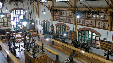
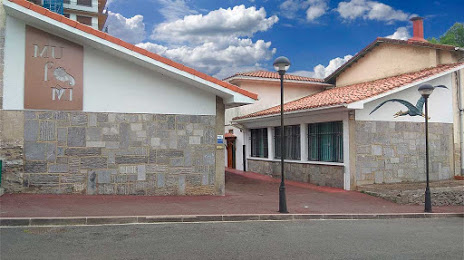
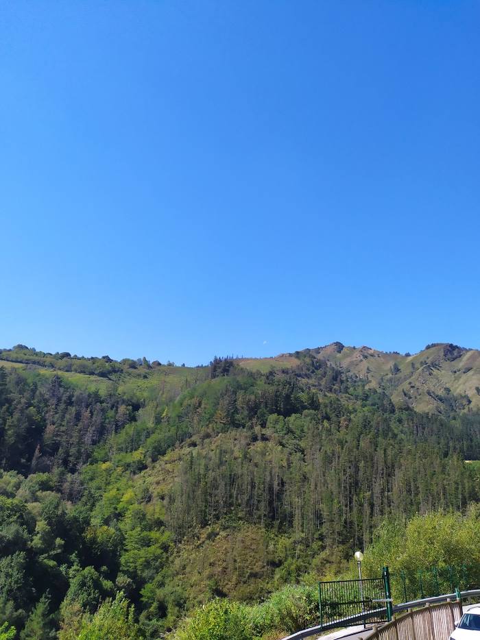
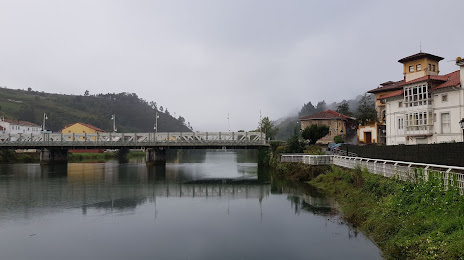
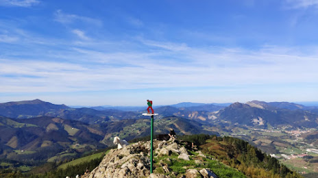
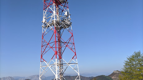
Attractions


Distance to the capital
Distance to the capital (Madrid) is about — 329 km.