 Warner Robins
Wantagh
Bethel
Misty Hill Farm
United States
Wakonda Beach (R33) Airport
Wilmington
Poland
Miami International Airport
Warner Robins
Wantagh
Bethel
Misty Hill Farm
United States
Wakonda Beach (R33) Airport
Wilmington
Poland
Miami International Airport
Atlanta Contemporary Art Center on the map, Atlanta, United States
Photo
Where is located Atlanta Contemporary Art Center
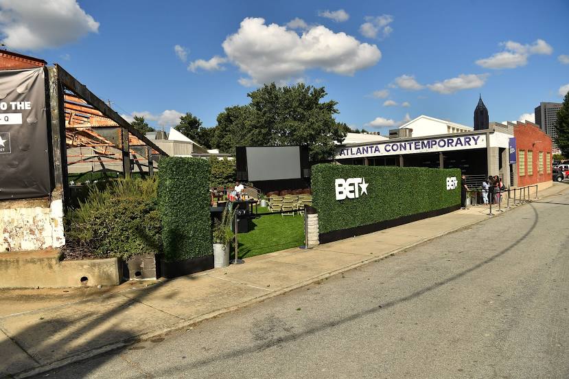
Atlanta Contemporary Art Center — local attraction, which is located at 535 Means St NW, Atlanta, GA 30318, United States and belongs to the category — art institute. Average visitor rating for this place — 4.5 (according to 187 ratings, information from open sources and relevant for 2022).
Exact location — Atlanta Contemporary Art Center, marked on the map with a red marker.
You can get directions to Atlanta Contemporary Art Center on the map from your location.
What else is interesting in Atlanta? You can see all the sights if you go to the city page.
Coordinates
Atlanta Contemporary Art Center, United States coordinates in decimal format: latitude — 33.772934848277835, longitude — -84.40524497524287. When converted to degrees, minutes, seconds Atlanta Contemporary Art Center has the following coordinates: 33°46′22.57 north latitude and -84°24′18.88 east longitude.
Nearby cities
The largest cities that are located nearby:
- Chattanooga — 166 km
- Birmingham — 224 km
- Huntsville — 227 km
- Montgomery — 235 km
- Knoxville — 248 km
- Columbia — 309 km
- Nashville — 342 km
- Savannah — 359 km
- Charlotte — 359 km
- Tallahassee — 366 km
- Clarksville — 405 km
- Charleston — 428 km
- Winston-Salem — 452 km
- Jacksonville — 459 km
- Mobile — 484 km
- Greensboro — 484 km
- Gainesville — 494 km
- Louisville — 512 km
- Fayetteville — 519 km
Distance to the capital
Distance to the capital (Washington) is about — 872 km.