 Warner Robins
Wantagh
Bethel
Misty Hill Farm
United States
Wakonda Beach (R33) Airport
Wilmington
Poland
Miami International Airport
Warner Robins
Wantagh
Bethel
Misty Hill Farm
United States
Wakonda Beach (R33) Airport
Wilmington
Poland
Miami International Airport
Prairie Bluff Preserve on the map, Joliet, United States
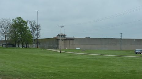
Photo
Where is located Prairie Bluff Preserve
Prairie Bluff Preserve — local attraction, which is located at 20205 Renwick Rd, Crest Hill, IL 60403, United States and belongs to the category — nature preserve. Average visitor rating for this place — 4.5 (according to 147 ratings, information from open sources and relevant for 2022).
Exact location — Prairie Bluff Preserve, marked on the map with a red marker.
You can get directions to Prairie Bluff Preserve on the map from your location.
What else is interesting in Joliet? You can see all the sights if you go to the city page.
Coordinates
Prairie Bluff Preserve, United States coordinates in decimal format: latitude — 41.534586179238126, longitude — -88.07494894270299. When converted to degrees, minutes, seconds Prairie Bluff Preserve has the following coordinates: 41°32′4.51 north latitude and -88°4′29.82 east longitude.
Nearby cities
The largest cities that are located nearby:
- Naperville — 26 km
- Aurora — 33 km
- Chicago — 54 km
- Rockford — 117 km
- South Bend — 152 km
- Peoria — 156 km
- Milwaukee — 168 km
- Madison — 202 km
- Fort Wayne — 250 km
- Grand Rapids — 252 km
- Indianapolis — 254 km
- Lansing — 316 km
- Green Bay — 331 km
- Ann Arbor — 365 km
- Saint Louis — 369 km
- Toledo — 374 km
- Flint — 391 km
- Evansville — 395 km
- Springfield — 403 km
Distance to the capital
Distance to the capital (Washington) is about — 981 km.