 Warner Robins
Wantagh
Bethel
Misty Hill Farm
United States
Wakonda Beach (R33) Airport
Wilmington
Poland
Miami International Airport
Warner Robins
Wantagh
Bethel
Misty Hill Farm
United States
Wakonda Beach (R33) Airport
Wilmington
Poland
Miami International Airport
Greenville Health System Swamp Rabbit Trail on the map, Greenville, United States
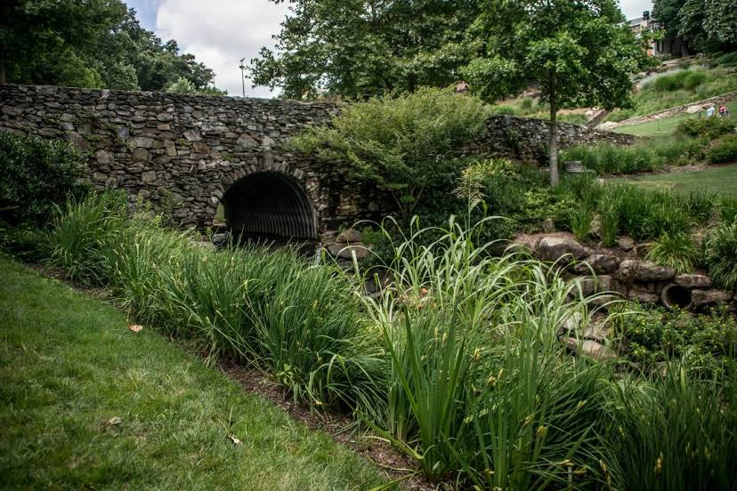
Photo
Where is located Greenville Health System Swamp Rabbit Trail
Greenville Health System Swamp Rabbit Trail — local attraction, which is located at 19.9 mi (32 km) and belongs to the category — -. Average visitor rating for this place — - (according to 0 ratings, information from open sources and relevant for 2022).
Exact location — Greenville Health System Swamp Rabbit Trail, marked on the map with a red marker.
You can get directions to Greenville Health System Swamp Rabbit Trail on the map from your location.
What else is interesting in Greenville? You can see all the sights if you go to the city page.
Coordinates
Greenville Health System Swamp Rabbit Trail, United States coordinates in decimal format: latitude — 34.84895845907727, longitude — -82.4039070752144. When converted to degrees, minutes, seconds Greenville Health System Swamp Rabbit Trail has the following coordinates: 34°50′56.25 north latitude and -82°24′14.07 east longitude.
Nearby cities
The largest cities that are located nearby:
- Charlotte — 146 km
- Columbia — 156 km
- Knoxville — 184 km
- Atlanta — 220 km
- Winston-Salem — 236 km
- Chattanooga — 265 km
- Greensboro — 269 km
- Fayetteville — 319 km
- Charleston — 324 km
- Savannah — 329 km
- Durham — 337 km
- Cary — 340 km
- Raleigh — 352 km
- Huntsville — 381 km
- Nashville — 418 km
- Birmingham — 432 km
- Montgomery — 457 km
- Louisville — 476 km
- Clarksville — 479 km
Distance to the capital
Distance to the capital (Washington) is about — 657 km.