 Warner Robins
Wantagh
Bethel
Misty Hill Farm
United States
Wakonda Beach (R33) Airport
Wilmington
Poland
Miami International Airport
Warner Robins
Wantagh
Bethel
Misty Hill Farm
United States
Wakonda Beach (R33) Airport
Wilmington
Poland
Miami International Airport
MotorCities National Heritage Area on the map, Detroit, United States
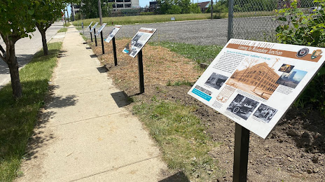
Photo
Where is located MotorCities National Heritage Area
MotorCities National Heritage Area — local attraction, which is located at 200 Renaissance Center #3148, Detroit, MI 48243, United States and belongs to the category — non-profit organization. Average visitor rating for this place — 4.4 (according to 5 ratings, information from open sources and relevant for 2022).
Exact location — MotorCities National Heritage Area, marked on the map with a red marker.
You can get directions to MotorCities National Heritage Area on the map from your location.
What else is interesting in Detroit? You can see all the sights if you go to the city page.
Coordinates
MotorCities National Heritage Area, United States coordinates in decimal format: latitude — 42.32951328672832, longitude — -83.03944227499524. When converted to degrees, minutes, seconds MotorCities National Heritage Area has the following coordinates: 42°19′46.25 north latitude and -83°2′21.99 east longitude.
Nearby cities
The largest cities that are located nearby:
- Windsor
 (Canada) — 2 km
 - Warren — 20 km
- Sterling Heights — 28 km
- Ann Arbor — 57 km
- Toledo — 85 km
- Flint — 91 km
- Lansing — 130 km
- Cleveland — 145 km
- London (Canada) — 163 km
- Aurora — 180 km
- Akron — 188 km
- Fort Wayne — 223 km
- Grand Rapids — 223 km
- Waterloo (Canada) — 238 km
- Kitchener (Canada) — 238 km
- Cambridge (Canada) — 247 km
- Guelph (Canada) — 261 km
- Columbus — 262 km
- Springfield — 274 km
Distance to the capital
Distance to the capital (Washington) is about — 634 km.