 Warner Robins
Wantagh
Bethel
Misty Hill Farm
United States
Wakonda Beach (R33) Airport
Wilmington
Poland
Miami International Airport
Warner Robins
Wantagh
Bethel
Misty Hill Farm
United States
Wakonda Beach (R33) Airport
Wilmington
Poland
Miami International Airport
Weldon Spring Site Interpretive Center on the map, Lake Saint Louis, United States
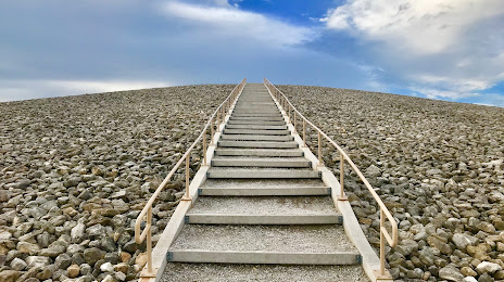
Photo
Where is located Weldon Spring Site Interpretive Center
Weldon Spring Site Interpretive Center — local attraction, which is located at 7295 MO-94, St Charles, MO 63304, United States and belongs to the category — national museum. Average visitor rating for this place — 4.4 (according to 142 ratings, information from open sources and relevant for 2022).
Exact location — Weldon Spring Site Interpretive Center, marked on the map with a red marker.
You can get directions to Weldon Spring Site Interpretive Center on the map from your location.
What else is interesting in Lake Saint Louis? You can see all the sights if you go to the city page.
Coordinates
Weldon Spring Site Interpretive Center, United States coordinates in decimal format: latitude — 38.696744498903044, longitude — -90.72537037510614. When converted to degrees, minutes, seconds Weldon Spring Site Interpretive Center has the following coordinates: 38°41′48.28 north latitude and -90°43′31.33 east longitude.
Nearby cities
The largest cities that are located nearby:
- Saint Louis — 54 km
- Peoria — 234 km
- Springfield — 281 km
- Evansville — 294 km
- Independence — 313 km
- North Kansas City — 327 km
- Kansas City — 327 km
- Overland Park — 334 km
- Olathe — 347 km
- Joliet — 377 km
- Aurora — 387 km
- Des Moines — 389 km
- Clarksville — 393 km
- Naperville — 394 km
- Memphis — 407 km
- Indianapolis — 408 km
- Rockford — 410 km
- Topeka — 422 km
- Chicago — 430 km
Distance to the capital
Distance to the capital (Washington) is about — 1186 km.