 Warner Robins
Wantagh
Bethel
Misty Hill Farm
United States
Wakonda Beach (R33) Airport
Wilmington
Poland
Miami International Airport
Warner Robins
Wantagh
Bethel
Misty Hill Farm
United States
Wakonda Beach (R33) Airport
Wilmington
Poland
Miami International Airport
Hembree Park on the map, Alpharetta, United States
Photo
Where is located Hembree Park
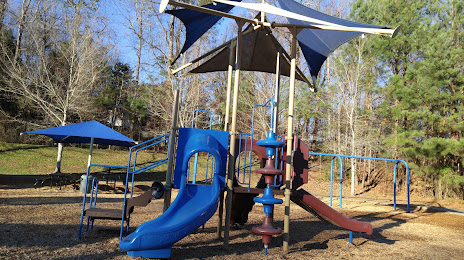
Hembree Park — local attraction, which is located at 850 Hembree Rd, Roswell, GA 30076, United States and belongs to the category — park. Average visitor rating for this place — 4.6 (according to 313 ratings, information from open sources and relevant for 2022).
Exact location — Hembree Park, marked on the map with a red marker.
You can get directions to Hembree Park on the map from your location.
What else is interesting in Alpharetta? You can see all the sights if you go to the city page.
Coordinates
Hembree Park, United States coordinates in decimal format: latitude — 34.057362115713794, longitude — -84.27050761006353. When converted to degrees, minutes, seconds Hembree Park has the following coordinates: 34°3′26.5 north latitude and -84°16′13.83 east longitude.
Nearby cities
The largest cities that are located nearby:
- Atlanta — 37 km
- Chattanooga — 141 km
- Knoxville — 211 km
- Huntsville — 220 km
- Birmingham — 239 km
- Montgomery — 266 km
- Columbia — 299 km
- Nashville — 320 km
- Charlotte — 337 km
- Savannah — 372 km
- Clarksville — 384 km
- Tallahassee — 402 km
- Winston-Salem — 425 km
- Charleston — 430 km
- Greensboro — 459 km
- Louisville — 479 km
- Jacksonville — 484 km
- Fayetteville — 502 km
- Mobile — 516 km
Distance to the capital
Distance to the capital (Washington) is about — 842 km.