 Warner Robins
Wantagh
Bethel
Misty Hill Farm
United States
Wakonda Beach (R33) Airport
Wilmington
Poland
Miami International Airport
Warner Robins
Wantagh
Bethel
Misty Hill Farm
United States
Wakonda Beach (R33) Airport
Wilmington
Poland
Miami International Airport
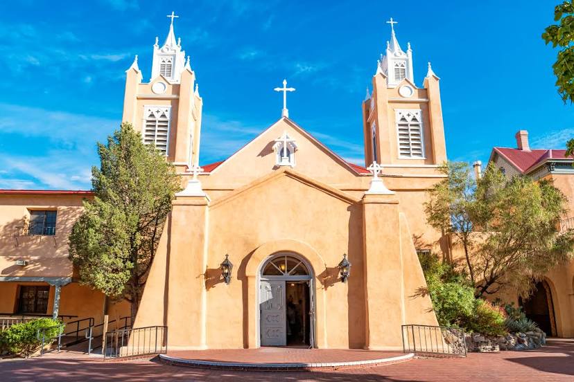
San Felipe de Neri Church on the map, Albuquerque, United States
Photo
Where is located San Felipe de Neri Church
San Felipe de Neri Church — local attraction, which is located at 2005 N Plaza St NW, Albuquerque, NM 87104, United States and belongs to the category — church. Average visitor rating for this place — 4.7 (according to 568 ratings, information from open sources and relevant for 2022).
Exact location — San Felipe de Neri Church, marked on the map with a red marker.
You can get directions to San Felipe de Neri Church on the map from your location.
What else is interesting in Albuquerque? You can see all the sights if you go to the city page.
Coordinates
San Felipe de Neri Church, United States coordinates in decimal format: latitude — 35.096543078596284, longitude — -106.66980127520769. When converted to degrees, minutes, seconds San Felipe de Neri Church has the following coordinates: 35°5′47.56 north latitude and -106°40′11.28 east longitude.
Nearby cities
The largest cities that are located nearby:
- Valencia — 33 km
- El Paso — 366 km
- Ciudad Juarez
 (Mexico) — 376 km
 - Pueblo — 391 km
- Amarillo — 432 km
- Colorado Springs — 442 km
- Lubbock — 468 km
- Tucson — 513 km
- Gilbert — 516 km
- Mesa — 516 km
- Scottsdale — 521 km
- Chandler — 522 km
- Tempe — 525 km
- Lakewood — 527 km
- Denver — 533 km
- Aurora — 535 km
- Phoenix — 536 km
- Arvada — 537 km
- Glendale — 542 km
Distance to the capital
Distance to the capital (Washington) is about — 2654 km.