 Warner Robins
Wantagh
Bethel
Misty Hill Farm
United States
Wakonda Beach (R33) Airport
Wilmington
Poland
Miami International Airport
Warner Robins
Wantagh
Bethel
Misty Hill Farm
United States
Wakonda Beach (R33) Airport
Wilmington
Poland
Miami International Airport
Rosa Parks Circle on the map, Grand Rapids, United States
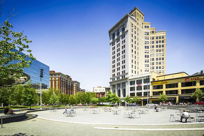
Photo
Where is located Rosa Parks Circle
Rosa Parks Circle — local attraction, which is located at 135 Monroe Center St NW, Grand Rapids, MI 49503, United States and belongs to the category — park. Average visitor rating for this place — 4.5 (according to 2518 ratings, information from open sources and relevant for 2022).
Exact location — Rosa Parks Circle, marked on the map with a red marker.
You can get directions to Rosa Parks Circle on the map from your location.
What else is interesting in Grand Rapids? You can see all the sights if you go to the city page.
Coordinates
Rosa Parks Circle, United States coordinates in decimal format: latitude — 42.96554544978495, longitude — -85.67164987497502. When converted to degrees, minutes, seconds Rosa Parks Circle has the following coordinates: 42°57′55.96 north latitude and -85°40′17.94 east longitude.
Nearby cities
The largest cities that are located nearby:
- Lansing — 94 km
- South Bend — 150 km
- Flint — 160 km
- Ann Arbor — 175 km
- Milwaukee — 181 km
- Chicago — 201 km
- Fort Wayne — 213 km
- Sterling Heights — 219 km
- Warren — 222 km
- Detroit — 225 km
- Toledo — 226 km
- Windsor
 (Canada) — 227 km
 - Naperville — 245 km
- Green Bay — 253 km
- Joliet — 255 km
- Aurora — 256 km
- Rockford — 291 km
- Madison — 302 km
- Indianapolis — 356 km
Distance to the capital
Distance to the capital (Washington) is about — 854 km.