 Warner Robins
Wantagh
Bethel
Misty Hill Farm
United States
Wakonda Beach (R33) Airport
Wilmington
Poland
Miami International Airport
Warner Robins
Wantagh
Bethel
Misty Hill Farm
United States
Wakonda Beach (R33) Airport
Wilmington
Poland
Miami International Airport
Devil's Millhopper Geological State Park on the map, Gainesville, United States
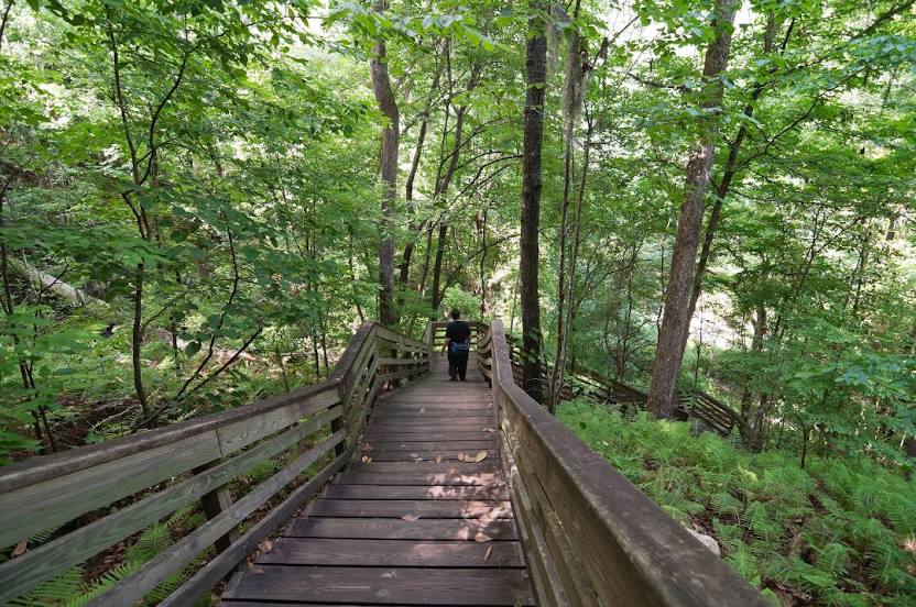
Photo
Where is located Devil's Millhopper Geological State Park
Devil's Millhopper Geological State Park — local attraction, which is located at 4732 Millhopper Rd, Gainesville, FL 32653, United States and belongs to the category — state park. Average visitor rating for this place — 4.3 (according to 1148 ratings, information from open sources and relevant for 2022).
Exact location — Devil's Millhopper Geological State Park, marked on the map with a red marker.
You can get directions to Devil's Millhopper Geological State Park on the map from your location.
What else is interesting in Gainesville? You can see all the sights if you go to the city page.
Coordinates
Devil's Millhopper Geological State Park, United States coordinates in decimal format: latitude — 29.704300546489485, longitude — -82.39382457534342. When converted to degrees, minutes, seconds Devil's Millhopper Geological State Park has the following coordinates: 29°42′15.48 north latitude and -82°23′37.77 east longitude.
Nearby cities
The largest cities that are located nearby:
- Jacksonville — 99 km
- Orlando — 154 km
- Tampa — 189 km
- Brandon — 190 km
- Clearwater — 192 km
- Tallahassee — 206 km
- Saint Petersburg — 210 km
- Savannah — 292 km
- Port Saint Lucie — 326 km
- Cape Coral — 344 km
- Charleston — 411 km
- Coral Springs — 426 km
- Fort Lauderdale — 447 km
- Pembroke Pines — 450 km
- Miramar — 452 km
- Hollywood — 457 km
- Hialeah — 466 km
- Montgomery — 477 km
- Miami — 480 km
Distance to the capital
Distance to the capital (Washington) is about — 1135 km.