 Chihuahua
Guadalajara
Durango
San Pedro Garza García
San Miguel
Ocotlán
Nuevo Laredo
San Pedro
Saltillo
Chihuahua
Guadalajara
Durango
San Pedro Garza García
San Miguel
Ocotlán
Nuevo Laredo
San Pedro
Saltillo
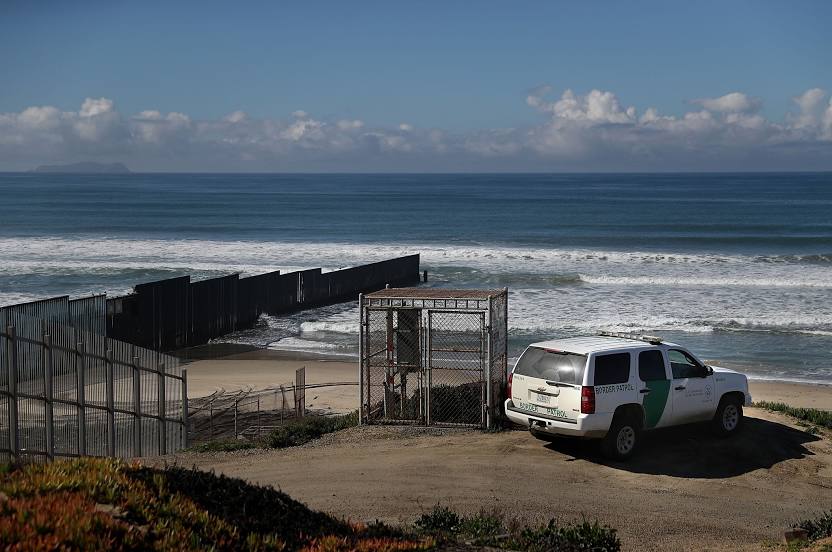
Tijuana on the map, Mexico
Where is located Tijuana
Exact location — Tijuana, Tijuana, Baja California, Mexico, marked on the map with a red marker.
Coordinates
Tijuana, Mexico coordinates in decimal format: latitude — 32.5149469, longitude — -117.0382471. When converted to degrees, minutes, seconds Tijuana has the following coordinates: 32°30′53.81 north latitude and -117°2′17.69 east longitude.
Population
Tijuana, Tijuana, Baja California, Mexico, according to our data the population is — 1,376,494 residents, which is about 1.1% of the total population of the country (Mexico).
Comparison of the population on the graph:
Exact time
Time zone for this location Tijuana — UTC -7 America/Tijuana. Exact time — thursday, 4 april 2024 year, 16 h. 30 minutes.
Sunrise and sunset
Tijuana, sunrise and sunset data for a date — thursday 18.04.2024.
| Sunrise | Sunset | Day (duration) |
|---|---|---|
| 06:16 -2 minutes | 19:17 +1 minute | 13 h. 0 minutes. +3 minutes |
You can control the scale of the map using the auxiliary tools to find out exactly where it is located Tijuana. When you change the scale of the map, the width of the ruler also changes (in kilometers and miles).
Nearby cities
The largest cities that are located nearby:
- Chula Vista
 (United States) — 14 km
 - San Diego (United States) — 25 km
- Escondido (United States) — 67 km
- Oceanside (United States) — 82 km
- Ensenada — 83 km
- Irvine (United States) — 147 km
- Mexicali — 148 km
- Costa Mesa (United States) — 149 km
- Huntington Beach (United States) — 154 km
- Santa Ana (United States) — 156 km
- Corona (United States) — 158 km
- Moreno Valley (United States) — 159 km
- Orange (United States) — 159 km
- Garden Grove (United States) — 162 km
- Riverside (United States) — 162 km
- Anaheim (United States) — 167 km
- Fullerton (United States) — 171 km
- Long Beach (United States) — 175 km
- San Bernardino (United States) — 178 km
Distance to neighboring capitals:
- Belmopan
 (Belize) — 3303 km
 - Guatemala City
 (Guatemala) — 3339 km
 - Tegucigalpa
 (Honduras) — 3650 km
 - Washington (United States) — 3652 km
- Ottawa
 (Canada) — 3802 km
 - Saint John
 (Puerto Rico) — 5294 km
 - Hagåtña
 (Guam) — 9959 km
 - Belgrade
 (Serbia) — 10409 km
 - Podgorica
 (Montenegro) — 10567 km
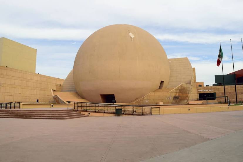
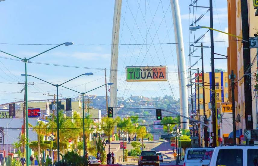
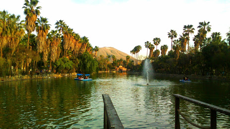
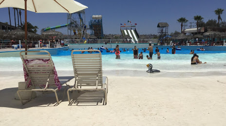
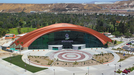
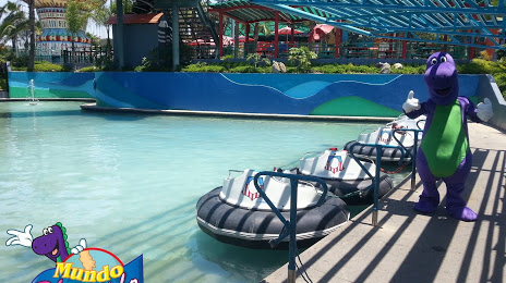
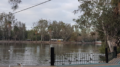
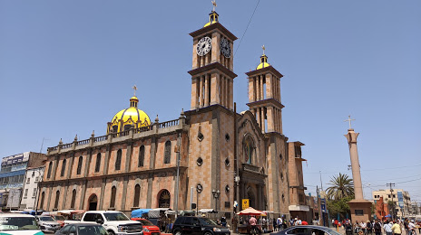
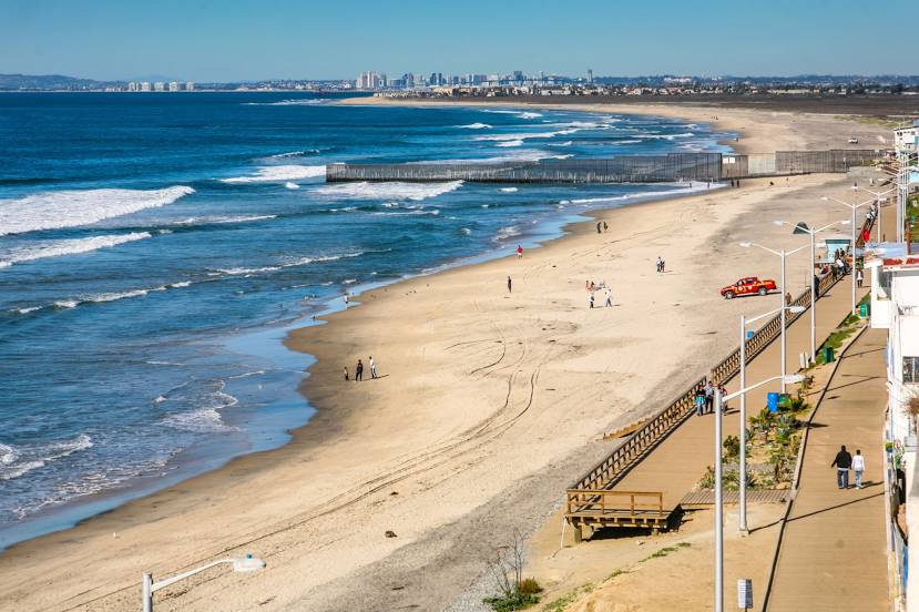
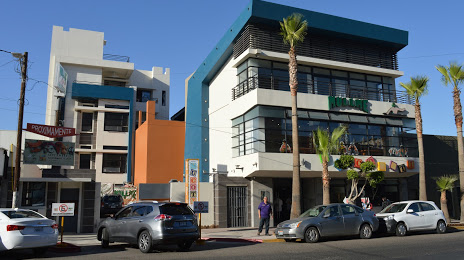
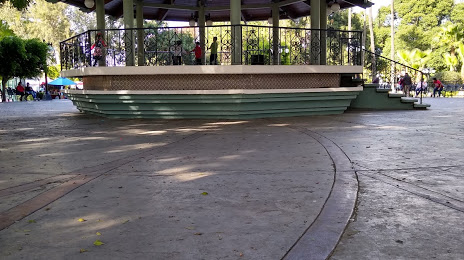
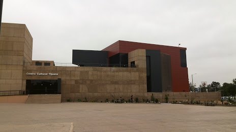
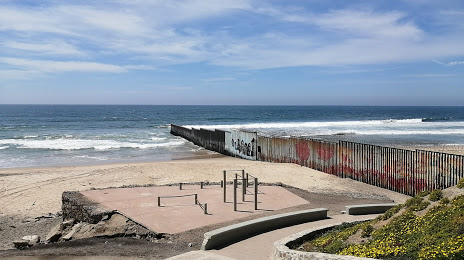
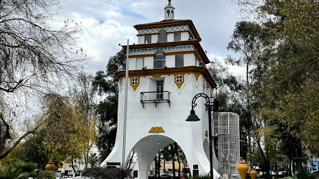
Attractions


Distance to the capital
Distance to the capital (Mexico City) is about — 2301 km.