 Warner Robins
Wantagh
Bethel
Misty Hill Farm
United States
Wakonda Beach (R33) Airport
Wilmington
Poland
Miami International Airport
Warner Robins
Wantagh
Bethel
Misty Hill Farm
United States
Wakonda Beach (R33) Airport
Wilmington
Poland
Miami International Airport
Fort Crevecoeur on the map, East Peoria, United States
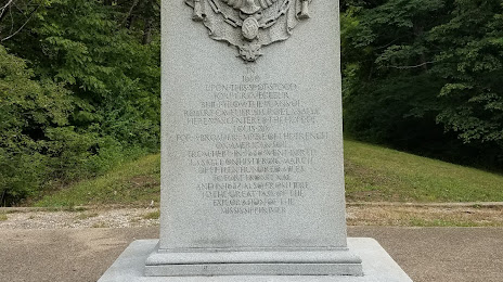
Photo
Where is located Fort Crevecoeur
Fort Crevecoeur — local attraction, which is located at 301 Lawnridge Dr, Creve Coeur, IL 61610, United States and belongs to the category — park. Average visitor rating for this place — 4.1 (according to 89 ratings, information from open sources and relevant for 2022).
Exact location — Fort Crevecoeur, marked on the map with a red marker.
You can get directions to Fort Crevecoeur on the map from your location.
What else is interesting in East Peoria? You can see all the sights if you go to the city page.
Coordinates
Fort Crevecoeur, United States coordinates in decimal format: latitude — 40.745611400615985, longitude — -89.6265161319997. When converted to degrees, minutes, seconds Fort Crevecoeur has the following coordinates: 40°44′44.2 north latitude and -89°37′35.46 east longitude.
Nearby cities
The largest cities that are located nearby:
- Peoria — 3 km
- Joliet — 156 km
- Aurora — 160 km
- Naperville — 168 km
- Rockford — 182 km
- Chicago — 209 km
- Saint Louis — 232 km
- Madison — 267 km
- Milwaukee — 295 km
- South Bend — 297 km
- Indianapolis — 307 km
- Evansville — 346 km
- Des Moines — 349 km
- Fort Wayne — 373 km
- Grand Rapids — 406 km
- Louisville — 426 km
- Green Bay — 443 km
- Independence — 450 km
- North Kansas City — 460 km
Distance to the capital
Distance to the capital (Washington) is about — 1094 km.