 Warner Robins
Wantagh
Bethel
Misty Hill Farm
United States
Wakonda Beach (R33) Airport
Wilmington
Poland
Miami International Airport
Warner Robins
Wantagh
Bethel
Misty Hill Farm
United States
Wakonda Beach (R33) Airport
Wilmington
Poland
Miami International Airport
LEGOLAND® Florida Resort on the map, Kissimmee, United States
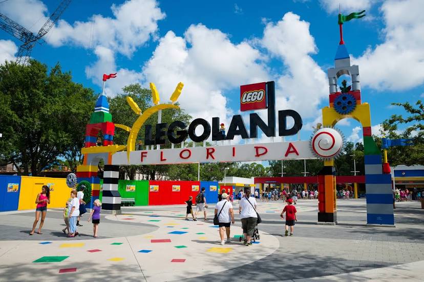
Photo
Where is located LEGOLAND® Florida Resort
LEGOLAND® Florida Resort — local attraction, which is located at 1 Legoland Way, Winter Haven, FL 33884, United States and belongs to the category — theme park. Average visitor rating for this place — 4.4 (according to 21972 ratings, information from open sources and relevant for 2022).
Exact location — LEGOLAND® Florida Resort, marked on the map with a red marker.
You can get directions to LEGOLAND® Florida Resort on the map from your location.
What else is interesting in Kissimmee? You can see all the sights if you go to the city page.
Coordinates
LEGOLAND® Florida Resort, United States coordinates in decimal format: latitude — 27.989460242275385, longitude — -81.69161573004506. When converted to degrees, minutes, seconds LEGOLAND® Florida Resort has the following coordinates: 27°59′22.06 north latitude and -81°41′29.82 east longitude.
Nearby cities
The largest cities that are located nearby:
- Orlando — 27 km
- Brandon — 94 km
- Tampa — 109 km
- Saint Petersburg — 134 km
- Clearwater — 141 km
- Port Saint Lucie — 153 km
- Gainesville — 174 km
- Cape Coral — 199 km
- Jacksonville — 227 km
- Coral Springs — 250 km
- Fort Lauderdale — 271 km
- Pembroke Pines — 276 km
- Miramar — 278 km
- Hollywood — 281 km
- Hialeah — 292 km
- Miami — 305 km
- Tallahassee — 362 km
- Savannah — 420 km
- Charleston — 514 km
Distance to the capital
Distance to the capital (Washington) is about — 1288 km.