 Warner Robins
Wantagh
Bethel
Misty Hill Farm
United States
Wakonda Beach (R33) Airport
Wilmington
Poland
Miami International Airport
Warner Robins
Wantagh
Bethel
Misty Hill Farm
United States
Wakonda Beach (R33) Airport
Wilmington
Poland
Miami International Airport
LEGOLAND® Florida Resort on the map, Lake Wales, United States
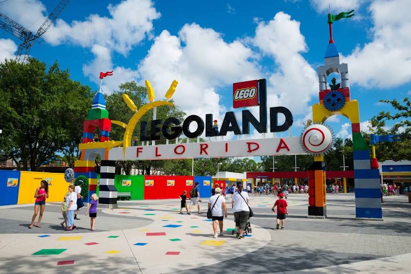
Photo
Where is located LEGOLAND® Florida Resort
LEGOLAND® Florida Resort — local attraction, which is located at 1 Legoland Way, Winter Haven, FL 33884, United States and belongs to the category — theme park. Average visitor rating for this place — 4.4 (according to 21972 ratings, information from open sources and relevant for 2022).
Exact location — LEGOLAND® Florida Resort, marked on the map with a red marker.
You can get directions to LEGOLAND® Florida Resort on the map from your location.
What else is interesting in Lake Wales? You can see all the sights if you go to the city page.
Coordinates
LEGOLAND® Florida Resort, United States coordinates in decimal format: latitude — 27.97916683024772, longitude — -81.6630456770242. When converted to degrees, minutes, seconds LEGOLAND® Florida Resort has the following coordinates: 27°58′45 north latitude and -81°39′46.96 east longitude.
Nearby cities
The largest cities that are located nearby:
- Brandon — 68 km
- Orlando — 73 km
- Tampa — 85 km
- Saint Petersburg — 104 km
- Clearwater — 119 km
- Port Saint Lucie — 139 km
- Cape Coral — 152 km
- Gainesville — 206 km
- Coral Springs — 222 km
- Fort Lauderdale — 244 km
- Pembroke Pines — 245 km
- Miramar — 247 km
- Hollywood — 253 km
- Hialeah — 261 km
- Jacksonville — 269 km
- Miami — 274 km
- Tallahassee — 380 km
- Savannah — 465 km
- Nassau
 (The Bahamas) — 528 km
Distance to the capital
Distance to the capital (Washington) is about — 1289 km.