 Warner Robins
Wantagh
Bethel
Misty Hill Farm
United States
Wakonda Beach (R33) Airport
Wilmington
Poland
Miami International Airport
Warner Robins
Wantagh
Bethel
Misty Hill Farm
United States
Wakonda Beach (R33) Airport
Wilmington
Poland
Miami International Airport
Old Town Reserve Park on the map, Xenia, United States
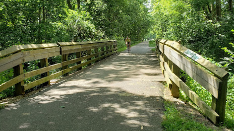
Photo
Where is located Old Town Reserve Park
Old Town Reserve Park — local attraction, which is located at 1360 Old Springfield Pike, Xenia, OH 45385, United States and belongs to the category — park. Average visitor rating for this place — 4.5 (according to 52 ratings, information from open sources and relevant for 2022).
Exact location — Old Town Reserve Park, marked on the map with a red marker.
You can get directions to Old Town Reserve Park on the map from your location.
What else is interesting in Xenia? You can see all the sights if you go to the city page.
Coordinates
Old Town Reserve Park, United States coordinates in decimal format: latitude — 39.72308324546251, longitude — -83.9347216750756. When converted to degrees, minutes, seconds Old Town Reserve Park has the following coordinates: 39°43′23.1 north latitude and -83°56′5 east longitude.
Nearby cities
The largest cities that are located nearby:
- Springfield — 28 km
- Cincinnati — 81 km
- Columbus — 85 km
- Fort Wayne — 184 km
- Indianapolis — 190 km
- Toledo — 221 km
- Louisville — 224 km
- Akron — 253 km
- Cleveland — 273 km
- Aurora — 280 km
- Ann Arbor — 287 km
- South Bend — 292 km
- Windsor
 (Canada) — 300 km
 - Detroit — 301 km
- Warren — 322 km
- Sterling Heights — 328 km
- Lansing — 341 km
- Pittsburgh — 341 km
- Flint — 368 km
Distance to the capital
Distance to the capital (Washington) is about — 600 km.