 Warner Robins
Wantagh
Bethel
Misty Hill Farm
United States
Wakonda Beach (R33) Airport
Wilmington
Poland
Miami International Airport
Warner Robins
Wantagh
Bethel
Misty Hill Farm
United States
Wakonda Beach (R33) Airport
Wilmington
Poland
Miami International Airport
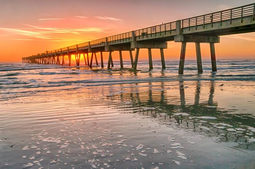
Jacksonville Beach Pier on the map, Jacksonville Beach, United States
Photo
Where is located Jacksonville Beach Pier
Jacksonville Beach Pier — local attraction, which is located at 503 1st St N, Jacksonville Beach, FL 32250, United States and belongs to the category — fishing pier. Average visitor rating for this place — 4.4 (according to 3569 ratings, information from open sources and relevant for 2022).
Exact location — Jacksonville Beach Pier, marked on the map with a red marker.
You can get directions to Jacksonville Beach Pier on the map from your location.
What else is interesting in Jacksonville Beach? You can see all the sights if you go to the city page.
Coordinates
Jacksonville Beach Pier, United States coordinates in decimal format: latitude — 30.293064894322132, longitude — -81.39045987532963. When converted to degrees, minutes, seconds Jacksonville Beach Pier has the following coordinates: 30°17′35.03 north latitude and -81°23′25.66 east longitude.
Nearby cities
The largest cities that are located nearby:
- Jacksonville — 25 km
- Gainesville — 113 km
- Orlando — 193 km
- Savannah — 201 km
- Brandon — 274 km
- Tallahassee — 276 km
- Tampa — 278 km
- Clearwater — 291 km
- Saint Petersburg — 303 km
- Charleston — 307 km
- Port Saint Lucie — 348 km
- Columbia — 412 km
- Cape Coral — 415 km
- Coral Springs — 457 km
- Atlanta — 472 km
- Fort Lauderdale — 477 km
- Pembroke Pines — 485 km
- Miramar — 487 km
- Hollywood — 488 km
Distance to the capital
Distance to the capital (Washington) is about — 1037 km.