 Warner Robins
Wantagh
Bethel
Misty Hill Farm
United States
Wakonda Beach (R33) Airport
Wilmington
Poland
Miami International Airport
Warner Robins
Wantagh
Bethel
Misty Hill Farm
United States
Wakonda Beach (R33) Airport
Wilmington
Poland
Miami International Airport
Bingham Copper Mine on the map, West Jordan, United States
Photo
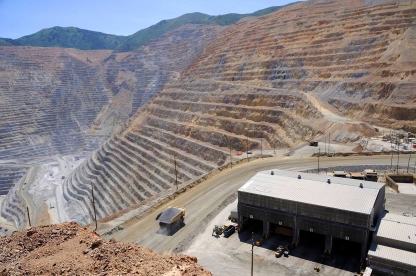
Where is located Bingham Copper Mine
Bingham Copper Mine — local attraction, which is located at 9 km² and belongs to the category — -. Average visitor rating for this place — 4.2 (according to 120 ratings, information from open sources and relevant for 2022).
Exact location — Bingham Copper Mine, marked on the map with a red marker.
You can get directions to Bingham Copper Mine on the map from your location.
What else is interesting in West Jordan? You can see all the sights if you go to the city page.
Coordinates
Bingham Copper Mine, United States coordinates in decimal format: latitude — 40.52187297725158, longitude — -112.14990131485314. When converted to degrees, minutes, seconds Bingham Copper Mine has the following coordinates: 40°31′18.74 north latitude and -112°8′59.64 east longitude.
Nearby cities
The largest cities that are located nearby:
- West Valley City — 10 km
- Salt Lake City — 17 km
- Provo — 48 km
- Boise — 477 km
- North Las Vegas — 564 km
- Las Vegas — 568 km
- Henderson — 574 km
- Fort Collins — 576 km
- Spring Valley — 579 km
- Arvada — 589 km
- Lakewood — 592 km
- Westminster — 592 km
- Thornton — 597 km
- Denver — 599 km
- Aurora — 612 km
- Colorado Springs — 644 km
- Reno — 682 km
- Pueblo — 688 km
- Peoria — 778 km
Distance to the capital
Distance to the capital (Washington) is about — 2990 km.