 Warner Robins
Wantagh
Bethel
Misty Hill Farm
United States
Wakonda Beach (R33) Airport
Wilmington
Poland
Miami International Airport
Warner Robins
Wantagh
Bethel
Misty Hill Farm
United States
Wakonda Beach (R33) Airport
Wilmington
Poland
Miami International Airport
Clover Island on the map, Kennewick, United States
Photo
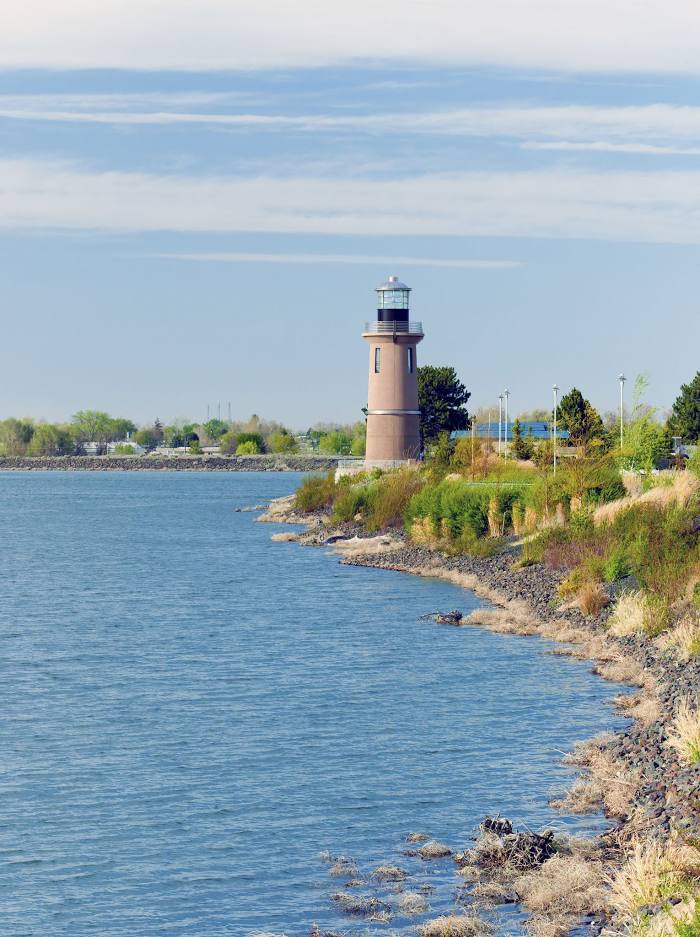
Where is located Clover Island
Clover Island — local attraction, which is located at no data and belongs to the category — -. Average visitor rating for this place — 4.4 (according to 37 ratings, information from open sources and relevant for 2022).
Exact location — Clover Island, marked on the map with a red marker.
You can get directions to Clover Island on the map from your location.
What else is interesting in Kennewick? You can see all the sights if you go to the city page.
Coordinates
Clover Island, United States coordinates in decimal format: latitude — 46.2173710546269, longitude — -119.11205830345635. When converted to degrees, minutes, seconds Clover Island has the following coordinates: 46°13′2.54 north latitude and -119°6′43.41 east longitude.
Nearby cities
The largest cities that are located nearby:
- Spokane — 205 km
- Tacoma — 274 km
- Bellevue — 276 km
- Vancouver — 280 km
- Seattle — 284 km
- Portland — 285 km
- Salem — 336 km
- Boise — 370 km
- Abbotsford
 (Canada) — 390 km
 - Eugene — 394 km
- Victoria (Canada) — 395 km
- Kelowna (Canada) — 407 km
- Surrey (Canada) — 424 km
- Delta (Canada) — 425 km
- Coquitlam (Canada) — 430 km
- Anmore (Canada) — 435 km
- Richmond (Canada) — 436 km
- Burnaby (Canada) — 436 km
- Calgary (Canada) — 640 km
Distance to the capital
Distance to the capital (Washington) is about — 3498 km.