 Warner Robins
Wantagh
Bethel
Misty Hill Farm
United States
Wakonda Beach (R33) Airport
Wilmington
Poland
Miami International Airport
Warner Robins
Wantagh
Bethel
Misty Hill Farm
United States
Wakonda Beach (R33) Airport
Wilmington
Poland
Miami International Airport
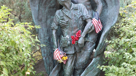
Memorial Rose Garden on the map, Missoula, United States
Photo
Where is located Memorial Rose Garden
Memorial Rose Garden — local attraction, which is located at 800 Brooks St, Missoula, MT 59801, United States and belongs to the category — garden. Average visitor rating for this place — 4.8 (according to 152 ratings, information from open sources and relevant for 2022).
Exact location — Memorial Rose Garden, marked on the map with a red marker.
You can get directions to Memorial Rose Garden on the map from your location.
What else is interesting in Missoula? You can see all the sights if you go to the city page.
Coordinates
Memorial Rose Garden, United States coordinates in decimal format: latitude — 46.856352664012405, longitude — -114.00574327484597. When converted to degrees, minutes, seconds Memorial Rose Garden has the following coordinates: 46°51′22.87 north latitude and -114°0′20.68 east longitude.
Nearby cities
The largest cities that are located nearby:
- Spokane — 270 km
- Boise — 402 km
- Calgary
 (Canada) — 461 km
 - Kelowna (Canada) — 514 km
- Bellevue — 617 km
- Seattle — 627 km
- Tacoma — 635 km
- Abbotsford (Canada) — 650 km
- Vancouver — 684 km
- Coquitlam (Canada) — 688 km
- Surrey (Canada) — 689 km
- Portland — 689 km
- Anmore (Canada) — 693 km
- Delta (Canada) — 698 km
- Burnaby (Canada) — 699 km
- Salt Lake City — 699 km
- West Valley City — 704 km
- Richmond (Canada) — 707 km
- Victoria (Canada) — 708 km
Distance to the capital
Distance to the capital (Washington) is about — 3108 km.