 Warner Robins
Wantagh
Bethel
Misty Hill Farm
United States
Wakonda Beach (R33) Airport
Wilmington
Poland
Miami International Airport
Warner Robins
Wantagh
Bethel
Misty Hill Farm
United States
Wakonda Beach (R33) Airport
Wilmington
Poland
Miami International Airport
Chicago Sanitary and Ship Canal on the map, Bridgeview, United States
Photo
Where is located Chicago Sanitary and Ship Canal
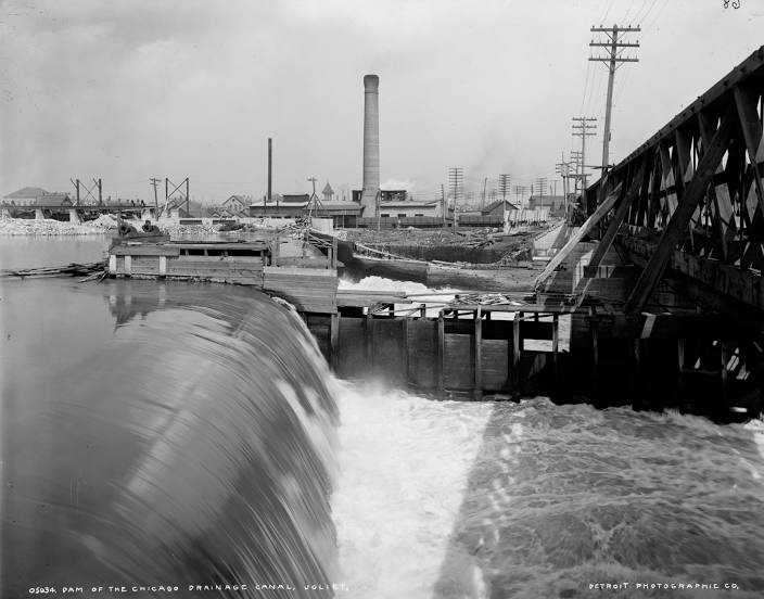
Chicago Sanitary and Ship Canal — local attraction, which is located at January 2, 1900 and belongs to the category — -. Average visitor rating for this place — 4.1 (according to 9 ratings, information from open sources and relevant for 2022).
Exact location — Chicago Sanitary and Ship Canal, marked on the map with a red marker.
You can get directions to Chicago Sanitary and Ship Canal on the map from your location.
What else is interesting in Bridgeview? You can see all the sights if you go to the city page.
Coordinates
Chicago Sanitary and Ship Canal, United States coordinates in decimal format: latitude — 41.828787841110156, longitude — -87.7402361675569. When converted to degrees, minutes, seconds Chicago Sanitary and Ship Canal has the following coordinates: 41°49′43.64 north latitude and -87°44′24.85 east longitude.
Nearby cities
The largest cities that are located nearby:
- Chicago — 20 km
- Naperville — 29 km
- Joliet — 34 km
- Aurora — 43 km
- Rockford — 120 km
- South Bend — 128 km
- Milwaukee — 143 km
- Peoria — 190 km
- Madison — 195 km
- Grand Rapids — 219 km
- Fort Wayne — 234 km
- Indianapolis — 260 km
- Lansing — 285 km
- Green Bay — 307 km
- Ann Arbor — 337 km
- Toledo — 351 km
- Flint — 361 km
- Detroit — 394 km
- Springfield — 394 km
Distance to the capital
Distance to the capital (Washington) is about — 963 km.