 Warner Robins
Wantagh
Bethel
Misty Hill Farm
United States
Wakonda Beach (R33) Airport
Wilmington
Poland
Miami International Airport
Warner Robins
Wantagh
Bethel
Misty Hill Farm
United States
Wakonda Beach (R33) Airport
Wilmington
Poland
Miami International Airport
Rolling Knolls Forest Preserve on the map, Hoffman Estates, United States
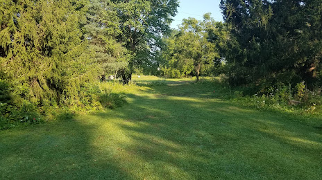
Photo
Where is located Rolling Knolls Forest Preserve
Rolling Knolls Forest Preserve — local attraction, which is located at 11N260 Rohrssen Rd, Elgin, IL 60120, United States and belongs to the category — park. Average visitor rating for this place — 4.5 (according to 131 rating, information from open sources and relevant for 2022).
Exact location — Rolling Knolls Forest Preserve, marked on the map with a red marker.
You can get directions to Rolling Knolls Forest Preserve on the map from your location.
What else is interesting in Hoffman Estates? You can see all the sights if you go to the city page.
Coordinates
Rolling Knolls Forest Preserve, United States coordinates in decimal format: latitude — 42.06100489614909, longitude — -88.15907272535497. When converted to degrees, minutes, seconds Rolling Knolls Forest Preserve has the following coordinates: 42°3′39.62 north latitude and -88°9′32.66 east longitude.
Nearby cities
The largest cities that are located nearby:
- Naperville — 35 km
- Aurora — 37 km
- Chicago — 45 km
- Joliet — 60 km
- Rockford — 83 km
- Milwaukee — 109 km
- Madison — 152 km
- South Bend — 160 km
- Peoria — 195 km
- Grand Rapids — 222 km
- Fort Wayne — 271 km
- Green Bay — 272 km
- Lansing — 299 km
- Indianapolis — 304 km
- Ann Arbor — 359 km
- Flint — 374 km
- Toledo — 380 km
- Detroit — 416 km
- Windsor
 (Canada) — 417 km
Distance to the capital
Distance to the capital (Washington) is about — 1003 km.