 Warner Robins
Wantagh
Bethel
Misty Hill Farm
United States
Wakonda Beach (R33) Airport
Wilmington
Poland
Miami International Airport
Warner Robins
Wantagh
Bethel
Misty Hill Farm
United States
Wakonda Beach (R33) Airport
Wilmington
Poland
Miami International Airport
Grand Village of the Natchez Indians on the map, Natchez, United States
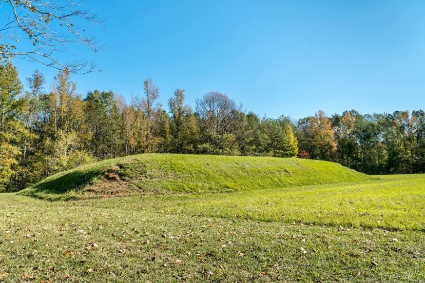
Photo
Where is located Grand Village of the Natchez Indians
Grand Village of the Natchez Indians — local attraction, which is located at 400 Jeff Davis Blvd, Natchez, MS 39120, United States and belongs to the category — museum. Average visitor rating for this place — 4.5 (according to 209 ratings, information from open sources and relevant for 2022).
Exact location — Grand Village of the Natchez Indians, marked on the map with a red marker.
You can get directions to Grand Village of the Natchez Indians on the map from your location.
What else is interesting in Natchez? You can see all the sights if you go to the city page.
Coordinates
Grand Village of the Natchez Indians, United States coordinates in decimal format: latitude — 31.525182127204562, longitude — -91.38071187529985. When converted to degrees, minutes, seconds Grand Village of the Natchez Indians has the following coordinates: 31°31′30.66 north latitude and -91°22′50.56 east longitude.
Nearby cities
The largest cities that are located nearby:
- Baton Rouge — 124 km
- Jackson — 140 km
- Lafayette — 159 km
- Metairie — 211 km
- New Orleans — 219 km
- Shreveport — 243 km
- Beaumont — 308 km
- Mobile — 334 km
- Little Rock — 361 km
- Memphis — 415 km
- Houston — 430 km
- Birmingham — 476 km
- Montgomery — 485 km
- Mesquite — 501 km
- Garland — 508 km
- Plano — 517 km
- Richardson — 517 km
- Dallas — 519 km
- Frisco — 532 km
Distance to the capital
Distance to the capital (Washington) is about — 1538 km.