
 Tineo
Buñol
Torre del Campo
Sallent de Gállego
La Nucia
Arrecife
Erandio
Alcázar de San Juan
Alboraia
Martorell
Alcántara
Elgoibar
Pravia
Chiclana de la Frontera
Miera
Elorrio
Campillo de Arenas
Onda
Olaz
Tineo
Buñol
Torre del Campo
Sallent de Gállego
La Nucia
Arrecife
Erandio
Alcázar de San Juan
Alboraia
Martorell
Alcántara
Elgoibar
Pravia
Chiclana de la Frontera
Miera
Elorrio
Campillo de Arenas
Onda
Olaz
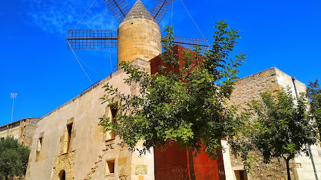
Manacor on the map, Spain
Where is located Manacor
Exact location — Manacor, Illes Balears, Illes Balears, Spain, marked on the map with a red marker.
Coordinates
Manacor, Spain coordinates in decimal format: latitude — 39.5697165, longitude — 3.2095318. When converted to degrees, minutes, seconds Manacor has the following coordinates: 39°34′10.98 north latitude and 3°12′34.31 east longitude.
Population
Manacor, Illes Balears, Illes Balears, Spain, according to our data the population is — 36,095 residents, which is about 0.1% of the total population of the country (Spain).
Comparison of the population on the graph:
Exact time
Time zone for this location Manacor — UTC +2 Europe/Madrid. Exact time — saturday, 4 april 2024 year, 04 h. 14 minutes.
Sunrise and sunset
Manacor, sunrise and sunset data for a date — saturday 20.04.2024.
| Sunrise | Sunset | Day (duration) |
|---|---|---|
| 07:04 -2 minutes | 20:27 +1 minute | 13 h. 24 minutes. +3 minutes |
You can control the scale of the map using the auxiliary tools to find out exactly where it is located Manacor. When you change the scale of the map, the width of the ruler also changes (in kilometers and miles).
Nearby cities
The largest cities that are located nearby:
- Palma — 48 km
- L'Hospitalet de Llobregat — 218 km
- Badalona — 222 km
- Santa Coloma de Gramenet — 223 km
- Mataró — 227 km
- Sabadell — 237 km
- Tarragona — 237 km
- Terrassa — 242 km
- Valencia — 306 km
- Sidi M'Hamed
 (Algeria) — 311 km
 - Lleida — 312 km
- Perpignan
 (France) — 346 km
 - Bejaia (Algeria) — 352 km
- Médéa (Algeria) — 367 km
- Zaragoza — 409 km
- Bou Arreridj Bordj (Algeria) — 411 km
- Chlef (Algeria) — 412 km
- Murcia — 416 km
- Setif (Algeria) — 422 km
Distance to neighboring capitals:
- Andorra la Vella
 (Andorra) — 356 km
 - Paris (France) — 1035 km
- Paris (France) — 1035 km
- Lisbon
 (Portugal) — 1069 km
 - Rabat
 (Morocco) — 1090 km
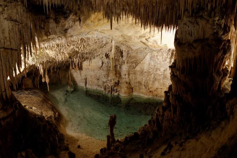
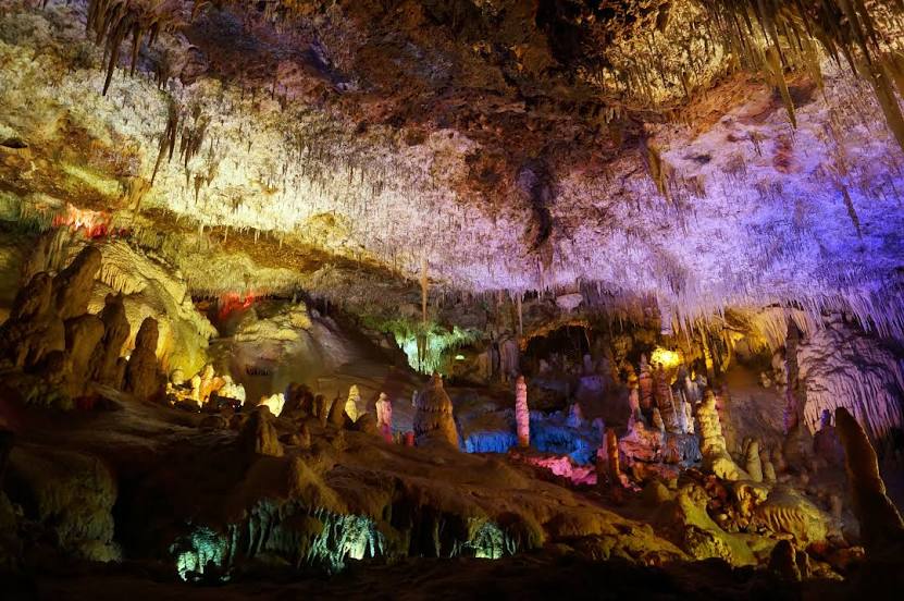
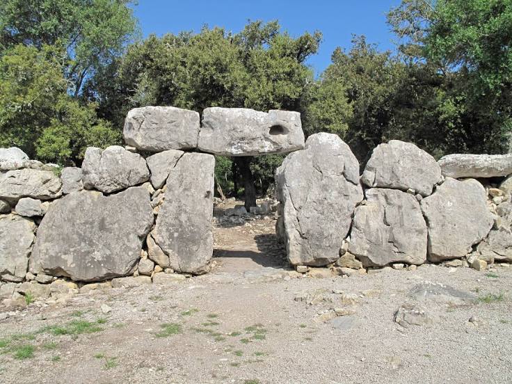
Attractions


Distance to the capital
Distance to the capital (Madrid) is about — 596 km.