 Warner Robins
Wantagh
Bethel
Misty Hill Farm
United States
Wakonda Beach (R33) Airport
Wilmington
Poland
Miami International Airport
Warner Robins
Wantagh
Bethel
Misty Hill Farm
United States
Wakonda Beach (R33) Airport
Wilmington
Poland
Miami International Airport
Indian Trails Park on the map, Ashtabula, United States
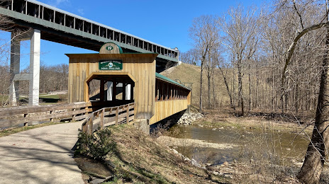
Photo
Where is located Indian Trails Park
Indian Trails Park — local attraction, which is located at 1700 E 1st St, Ashtabula, OH 44004, United States and belongs to the category — park. Average visitor rating for this place — 4.5 (according to 27 ratings, information from open sources and relevant for 2022).
Exact location — Indian Trails Park, marked on the map with a red marker.
You can get directions to Indian Trails Park on the map from your location.
What else is interesting in Ashtabula? You can see all the sights if you go to the city page.
Coordinates
Indian Trails Park, United States coordinates in decimal format: latitude — 41.856275119454885, longitude — -80.7610709750101. When converted to degrees, minutes, seconds Indian Trails Park has the following coordinates: 41°51′22.59 north latitude and -80°45′39.86 east longitude.
Nearby cities
The largest cities that are located nearby:
- Aurora — 76 km
- Cleveland — 85 km
- Akron — 106 km
- London
 (Canada) — 129 km
 - Cambridge (Canada) — 170 km
- Hamilton (Canada) — 170 km
- Pittsburgh — 171 km
- Kitchener (Canada) — 173 km
- Waterloo (Canada) — 178 km
- Burlington (Canada) — 180 km
- Boston — 187 km
- Saint Catharines (Canada) — 190 km
- Windsor (Canada) — 190 km
- Guelph (Canada) — 191 km
- Detroit — 191 km
- Buffalo — 192 km
- Warren — 195 km
- Oakville (Canada) — 198 km
- Sterling Heights — 199 km
Distance to the capital
Distance to the capital (Washington) is about — 455 km.