 Warner Robins
Wantagh
Bethel
Misty Hill Farm
United States
Wakonda Beach (R33) Airport
Wilmington
Poland
Miami International Airport
Warner Robins
Wantagh
Bethel
Misty Hill Farm
United States
Wakonda Beach (R33) Airport
Wilmington
Poland
Miami International Airport
The National Cold War Center on the map, Blytheville, United States
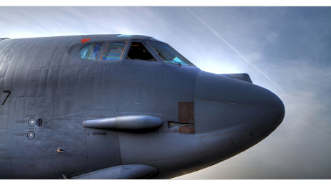
Photo
Where is located The National Cold War Center
The National Cold War Center — local attraction, which is located at 4701 Memorial Dr, Blytheville, AR 72315, United States and belongs to the category — museum. Average visitor rating for this place — 5.0 (according to 2 ratings, information from open sources and relevant for 2022).
Exact location — The National Cold War Center, marked on the map with a red marker.
You can get directions to The National Cold War Center on the map from your location.
What else is interesting in Blytheville? You can see all the sights if you go to the city page.
Coordinates
The National Cold War Center, United States coordinates in decimal format: latitude — 35.95867590053546, longitude — -89.96367097518414. When converted to degrees, minutes, seconds The National Cold War Center has the following coordinates: 35°57′31.23 north latitude and -89°57′49.22 east longitude.
Nearby cities
The largest cities that are located nearby:
- Memphis — 87 km
- Clarksville — 237 km
- Little Rock — 252 km
- Nashville — 281 km
- Saint Louis — 299 km
- Evansville — 305 km
- Springfield — 329 km
- Huntsville — 330 km
- Birmingham — 392 km
- Jackson — 402 km
- Chattanooga — 428 km
- Louisville — 443 km
- Shreveport — 519 km
- Montgomery — 519 km
- Independence — 521 km
- Peoria — 528 km
- Overland Park — 530 km
- Indianapolis — 532 km
- Kansas City — 532 km
Distance to the capital
Distance to the capital (Washington) is about — 1187 km.