 Warner Robins
Wantagh
Bethel
Misty Hill Farm
United States
Wakonda Beach (R33) Airport
Wilmington
Poland
Miami International Airport
Warner Robins
Wantagh
Bethel
Misty Hill Farm
United States
Wakonda Beach (R33) Airport
Wilmington
Poland
Miami International Airport
Ernest Gruening State Historic Park on the map, Juneau, United States
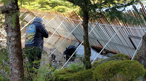
Photo
Where is located Ernest Gruening State Historic Park
Ernest Gruening State Historic Park — local attraction, which is located at Amalga Harbor Rd, Juneau, AK 99801, United States and belongs to the category — state park. Average visitor rating for this place — 4.0 (according to 7 ratings, information from open sources and relevant for 2022).
Exact location — Ernest Gruening State Historic Park, marked on the map with a red marker.
You can get directions to Ernest Gruening State Historic Park on the map from your location.
What else is interesting in Juneau? You can see all the sights if you go to the city page.
Coordinates
Ernest Gruening State Historic Park, United States coordinates in decimal format: latitude — 58.49374004738171, longitude — -134.78749677450645. When converted to degrees, minutes, seconds Ernest Gruening State Historic Park has the following coordinates: 58°29′37.46 north latitude and -134°47′14.99 east longitude.
Nearby cities
The largest cities that are located nearby:
- Anchorage — 885 km
- Vancouver
 (Canada) — 1288 km
 - Burnaby (Canada) — 1296 km
- Anmore (Canada) — 1297 km
- Richmond (Canada) — 1298 km
- Coquitlam (Canada) — 1303 km
- Surrey (Canada) — 1310 km
- Delta (Canada) — 1310 km
- Abbotsford (Canada) — 1346 km
- Victoria (Canada) — 1360 km
- Kelowna (Canada) — 1413 km
- Edmonton (Canada) — 1472 km
- Seattle — 1487 km
- Bellevue — 1492 km
- Tacoma — 1517 km
- Calgary (Canada) — 1626 km
- Portland — 1680 km
- Salem — 1725 km
- Spokane — 1728 km
Distance to the capital
Distance to the capital (Washington) is about — 4582 km.