 Glen Burnie
Boston
Hampton
Carlsbad
Philadelphia
Greenwich
Baltimore
The Colony
Fairfield
Pueblo
Forest County
Glen Burnie
Boston
Hampton
Carlsbad
Philadelphia
Greenwich
Baltimore
The Colony
Fairfield
Pueblo
Forest County
Brattleboro on the map, United States
Where is located Brattleboro
Exact location — Brattleboro, Windham County, Vermont, United States, marked on the map with a red marker.
Coordinates
Brattleboro, United States coordinates in decimal format: latitude — 42.8509152, longitude — -72.5578678. When converted to degrees, minutes, seconds Brattleboro has the following coordinates: 42°51′3.29 north latitude and -72°33′28.32 east longitude.
Population
Brattleboro, Windham County, Vermont, United States, according to our data the population is — 13,373 residents, which is about 0% of the total population of the country (United States).
Comparison of the population on the graph:
Exact time
Time zone for this location Brattleboro — UTC -4 America/New_York. Exact time — thursday, 4 april 2024 year, 17 h. 31 minute.
Sunrise and sunset
Brattleboro, sunrise and sunset data for a date — thursday 25.04.2024.
| Sunrise | Sunset | Day (duration) |
|---|---|---|
| 05:55 -1 minute | 19:41 +2 minutes | 13 h. 48 minutes. +3 minutes |
You can control the scale of the map using the auxiliary tools to find out exactly where it is located Brattleboro. When you change the scale of the map, the width of the ruler also changes (in kilometers and miles).
Nearby cities
The largest cities that are located nearby:
- Amherst — 57 km
- Springfield — 83 km
- Worcester — 90 km
- Manchester — 91 km
- Lowell — 104 km
- Hartford — 121 km
- Cambridge — 130 km
- Boston — 134 km
- Providence — 148 km
- Waterbury — 149 km
- New Haven — 173 km
- Bridgeport — 191 km
- Stamford — 215 km
- Yonkers — 240 km
- Paterson — 253 km
- New York — 266 km
- Brooklyn — 267 km
- Newark — 270 km
- Elizabeth — 279 km
Distance to neighboring capitals:
- Ottawa
 (Canada) — 380 km
 - Nuuk
 (Greenland) — 2714 km
 - Belmopan
 (Belize) — 3234 km
 - Guatemala City
 (Guatemala) — 3580 km
 - Mexico City
 (Mexico) — 3601 km
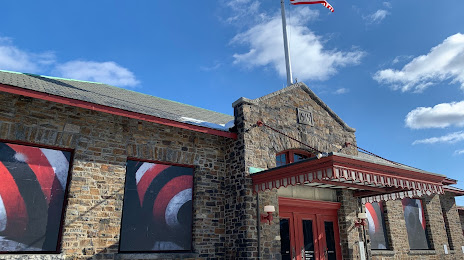
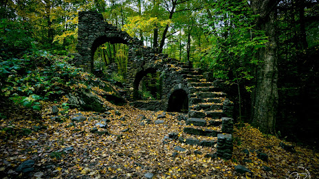
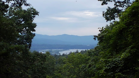
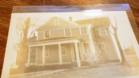
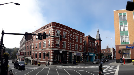
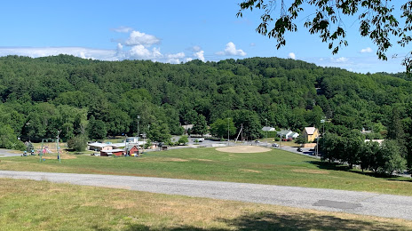
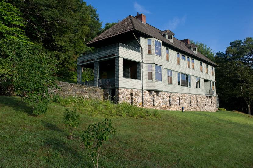
Attractions


Distance to the capital
Distance to the capital (Washington) is about — 578 km.