 Rocky Mount
Reston
Westerville
San Marcos
Austin
Indianapolis
Chandler
Branchburg
Blue Bell
Piscataway Township
San Francisco
Bridgeton
Pittsburgh
Rye Brook
Panama
Aroostook County
New Germany
Paraje
Pueblo
Rocky Mount
Reston
Westerville
San Marcos
Austin
Indianapolis
Chandler
Branchburg
Blue Bell
Piscataway Township
San Francisco
Bridgeton
Pittsburgh
Rye Brook
Panama
Aroostook County
New Germany
Paraje
Pueblo
Round Rock on the map, United States
Where is located Round Rock
Exact location — Round Rock, Williamson County, Texas, United States, marked on the map with a red marker.
Coordinates
Round Rock, United States coordinates in decimal format: latitude — 30.5082551, longitude — -97.678896. When converted to degrees, minutes, seconds Round Rock has the following coordinates: 30°30′29.72 north latitude and -97°40′44.03 east longitude.
Population
Round Rock, Williamson County, Texas, United States, according to our data the population is — 88,653 residents, which is about 0% of the total population of the country (United States).
Comparison of the population on the graph:
Exact time
Time zone for this location Round Rock — UTC -5 America/Chicago. Exact time — thursday, 4 april 2024 year, 02 h. 54 minutes.
Sunrise and sunset
Round Rock, sunrise and sunset data for a date — thursday 25.04.2024.
| Sunrise | Sunset | Day (duration) |
|---|---|---|
| 06:54 -1 minute | 20:02 +1 minute | 13 h. 6 minutes. +2 minutes |
You can control the scale of the map using the auxiliary tools to find out exactly where it is located Round Rock. When you change the scale of the map, the width of the ruler also changes (in kilometers and miles).
Nearby cities
The largest cities that are located nearby:
- Austin — 27 km
- Killeen — 67 km
- Waco — 126 km
- San Antonio — 143 km
- Houston — 237 km
- Fort Worth — 251 km
- Arlington — 252 km
- Grand Prairie — 255 km
- Irving — 264 km
- Dallas — 264 km
- Mesquite — 269 km
- Carrollton — 282 km
- Garland — 283 km
- Richardson — 284 km
- Abilene — 288 km
- Plano — 292 km
- Corpus Christi — 301 km
- Frisco — 303 km
- Denton — 303 km
Distance to neighboring capitals:
- Mexico City
 (Mexico) — 1241 km
 - Belmopan
 (Belize) — 1729 km
 - Guatemala City
 (Guatemala) — 1913 km
 - Ottawa
 (Canada) — 2528 km
 - Nuuk
 (Greenland) — 4907 km
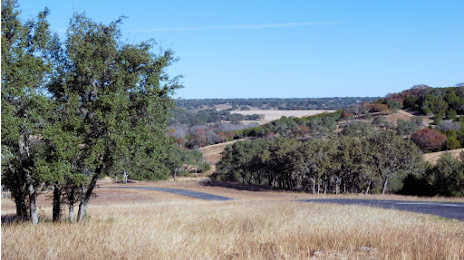
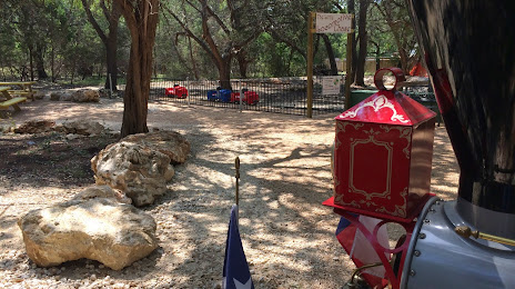
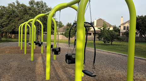
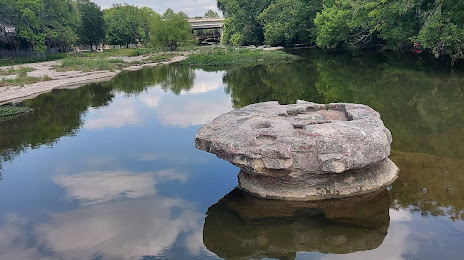
Attractions


Distance to the capital
Distance to the capital (Washington) is about — 2099 km.