 Indianapolis
Chandler
Branchburg
Blue Bell
Granville
Beverly Hills
Silver Spring
Huntley
Williston
San Jose
Saginaw
Nashville
Brattleboro
Keuka Park
Piscataway Township
San Francisco
Bridgeton
Pittsburgh
Rye Brook
Indianapolis
Chandler
Branchburg
Blue Bell
Granville
Beverly Hills
Silver Spring
Huntley
Williston
San Jose
Saginaw
Nashville
Brattleboro
Keuka Park
Piscataway Township
San Francisco
Bridgeton
Pittsburgh
Rye Brook
Hampton on the map, United States
Where is located Hampton
Exact location — Hampton, Virginia, United States, marked on the map with a red marker.
Coordinates
Hampton, United States coordinates in decimal format: latitude — 37.0298687, longitude — -76.3452218. When converted to degrees, minutes, seconds Hampton has the following coordinates: 37°1′47.53 north latitude and -76°20′42.8 east longitude.
Population
Hampton, Virginia, United States, according to our data the population is — 147,993 residents, which is about 0% of the total population of the country (United States).
Comparison of the population on the graph:
Exact time
Time zone for this location Hampton — UTC -4 America/New_York. Exact time — friday, 4 april 2024 year, 23 h. 28 minutes.
Sunrise and sunset
Hampton, sunrise and sunset data for a date — friday 19.04.2024.
| Sunrise | Sunset | Day (duration) |
|---|---|---|
| 06:27 -1 minute | 19:41 +1 minute | 13 h. 12 minutes. +2 minutes |
You can control the scale of the map using the auxiliary tools to find out exactly where it is located Hampton. When you change the scale of the map, the width of the ruler also changes (in kilometers and miles).
Nearby cities
The largest cities that are located nearby:
- Norfolk — 20 km
- Chesapeake — 29 km
- Virginia Beach — 38 km
- Richmond — 111 km
- Alexandria — 205 km
- Raleigh — 248 km
- Baltimore — 251 km
- Durham — 256 km
- Cary — 258 km
- Fayetteville — 317 km
- Greensboro — 326 km
- Philadelphia — 338 km
- Winston-Salem — 363 km
- Toms River — 371 km
- Allentown — 402 km
- Edison — 419 km
- Elizabeth — 440 km
- Newark — 448 km
- Brooklyn — 451 km
Distance to neighboring capitals:
- Ottawa
 (Canada) — 935 km
 - Belmopan
 (Belize) — 2515 km
 - Guatemala City
 (Guatemala) — 2862 km
 - Mexico City
 (Mexico) — 2955 km
 - Nuuk
 (Greenland) — 3434 km
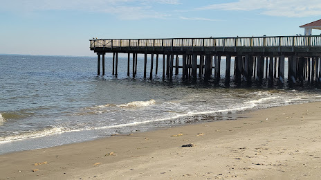
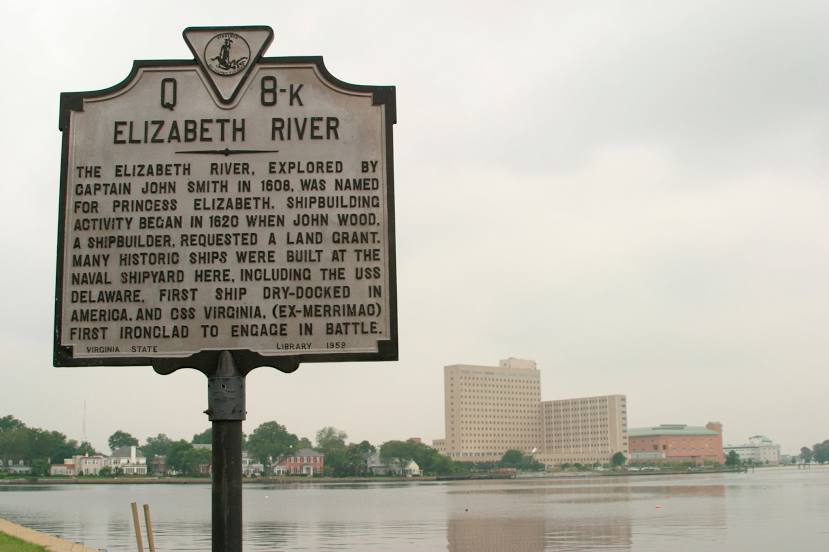
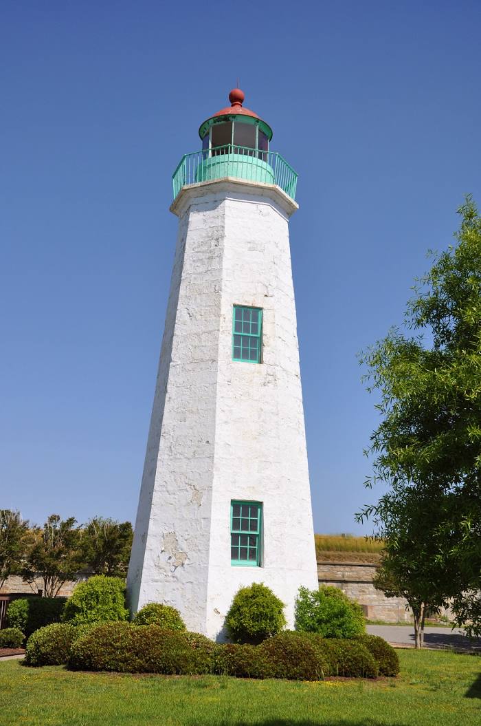
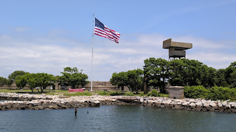
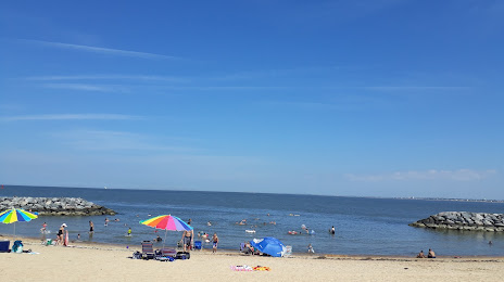
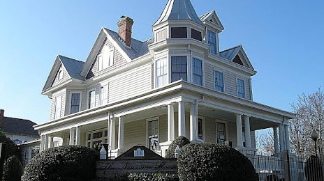
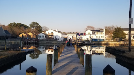
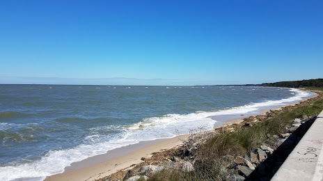
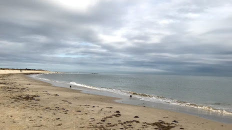
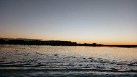
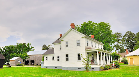
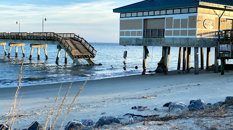
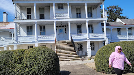
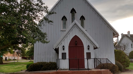
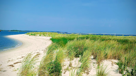
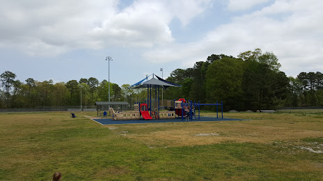
Attractions


Distance to the capital
Distance to the capital (Washington) is about — 217 km.