 Blue Bell
Granville
Beverly Hills
Silver Spring
Huntley
Williston
Dallas
Boca Raton
Amesbury
Richmond
Chicago
Haverhill
San Jose
Saginaw
Nashville
Brattleboro
Keuka Park
Piscataway Township
San Francisco
Blue Bell
Granville
Beverly Hills
Silver Spring
Huntley
Williston
Dallas
Boca Raton
Amesbury
Richmond
Chicago
Haverhill
San Jose
Saginaw
Nashville
Brattleboro
Keuka Park
Piscataway Township
San Francisco
Greenwich on the map, United States
Where is located Greenwich
Exact location — Greenwich, Fairfield County, Connecticut, United States, marked on the map with a red marker.
Coordinates
Greenwich, United States coordinates in decimal format: latitude — 41.0262417, longitude — -73.6281964. When converted to degrees, minutes, seconds Greenwich has the following coordinates: 41°1′34.47 north latitude and -73°37′41.51 east longitude.
Population
Greenwich, Fairfield County, Connecticut, United States, according to our data the population is — 63,652 residents, which is about 0% of the total population of the country (United States).
Comparison of the population on the graph:
Exact time
Time zone for this location Greenwich — UTC -4 America/New_York. Exact time — thursday, 4 april 2024 year, 04 h. 39 minutes.
Sunrise and sunset
Greenwich, sunrise and sunset data for a date — thursday 18.04.2024.
| Sunrise | Sunset | Day (duration) |
|---|---|---|
| 06:12 -2 minutes | 19:34 +1 minute | 13 h. 24 minutes. +3 minutes |
You can control the scale of the map using the auxiliary tools to find out exactly where it is located Greenwich. When you change the scale of the map, the width of the ruler also changes (in kilometers and miles).
Nearby cities
The largest cities that are located nearby:
- Stamford — 8 km
- Yonkers — 25 km
- Bridgeport — 40 km
- New York — 47 km
- Paterson — 47 km
- Brooklyn — 48 km
- Newark — 56 km
- Elizabeth — 63 km
- New Haven — 66 km
- Waterbury — 76 km
- Edison — 87 km
- Hartford — 113 km
- Toms River — 128 km
- Springfield — 146 km
- Allentown — 163 km
- Amherst — 172 km
- Philadelphia — 176 km
- Worcester — 203 km
- Providence — 203 km
Distance to neighboring capitals:
- Ottawa
 (Canada) — 517 km
 - Nuuk
 (Greenland) — 2935 km
 - Belmopan
 (Belize) — 3015 km
 - Guatemala City
 (Guatemala) — 3362 km
 - Mexico City
 (Mexico) — 3407 km
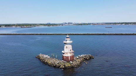
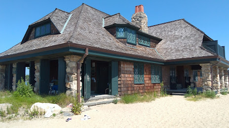
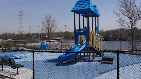
Attractions


Distance to the capital
Distance to the capital (Washington) is about — 374 km.