 Granville
Beverly Hills
Silver Spring
Huntley
Williston
Dallas
Boca Raton
Amesbury
New Brunswick
Wilmington
Richmond
Chicago
Haverhill
San Jose
Saginaw
Nashville
Brattleboro
Keuka Park
Piscataway Township
Granville
Beverly Hills
Silver Spring
Huntley
Williston
Dallas
Boca Raton
Amesbury
New Brunswick
Wilmington
Richmond
Chicago
Haverhill
San Jose
Saginaw
Nashville
Brattleboro
Keuka Park
Piscataway Township
Baltimore on the map, United States
Where is located Baltimore
Exact location — Baltimore, Maryland, United States, marked on the map with a red marker.
Coordinates
Baltimore, United States coordinates in decimal format: latitude — 39.2903848, longitude — -76.6121893. When converted to degrees, minutes, seconds Baltimore has the following coordinates: 39°17′25.39 north latitude and -76°36′43.88 east longitude.
Population
Baltimore, Maryland, United States, according to our data the population is — 610,892 residents, which is about 0.2% of the total population of the country (United States).
Comparison of the population on the graph:
Exact time
Time zone for this location Baltimore — UTC -4 America/New_York. Exact time — thursday, 4 april 2024 year, 05 h. 08 minutes.
Sunrise and sunset
Baltimore, sunrise and sunset data for a date — thursday 25.04.2024.
| Sunrise | Sunset | Day (duration) |
|---|---|---|
| 06:17 -1 minute | 19:51 +1 minute | 13 h. 36 minutes. +2 minutes |
You can control the scale of the map using the auxiliary tools to find out exactly where it is located Baltimore. When you change the scale of the map, the width of the ruler also changes (in kilometers and miles).
Nearby cities
The largest cities that are located nearby:
- Alexandria — 65 km
- Philadelphia — 143 km
- Allentown — 174 km
- Richmond — 206 km
- Toms River — 217 km
- Edison — 229 km
- Hampton — 251 km
- Elizabeth — 252 km
- Newark — 259 km
- Brooklyn — 269 km
- New York — 269 km
- Norfolk — 271 km
- Paterson — 272 km
- Virginia Beach — 275 km
- Chesapeake — 280 km
- Yonkers — 290 km
- Pittsburgh — 312 km
- Stamford — 322 km
- Bridgeport — 353 km
Distance to neighboring capitals:
- Ottawa
 (Canada) — 686 km
 - Belmopan
 (Belize) — 2719 km
 - Guatemala City
 (Guatemala) — 3063 km
 - Mexico City
 (Mexico) — 3088 km
 - Nuuk
 (Greenland) — 3209 km
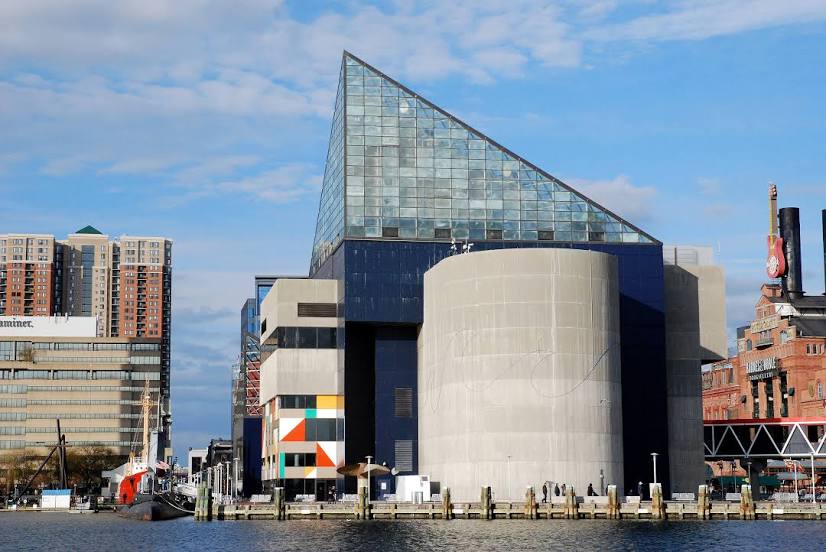
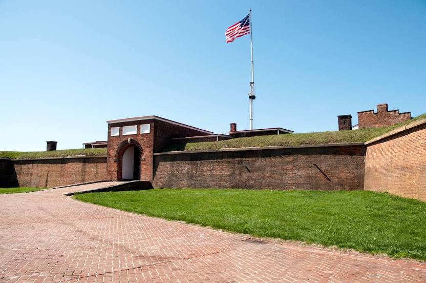
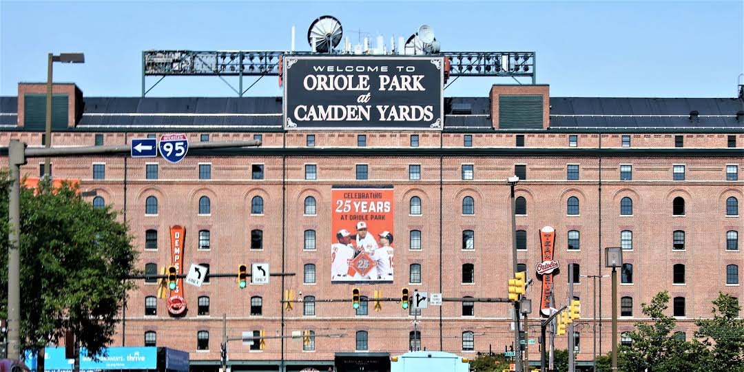
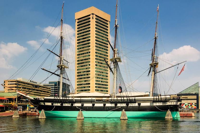
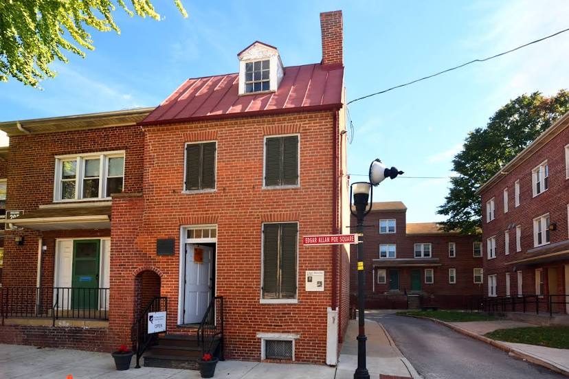
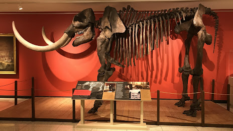
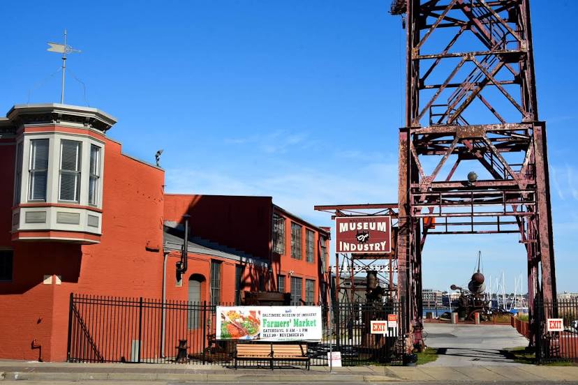
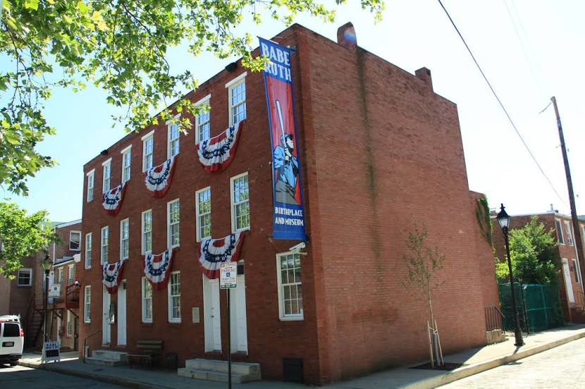
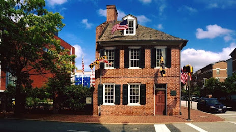
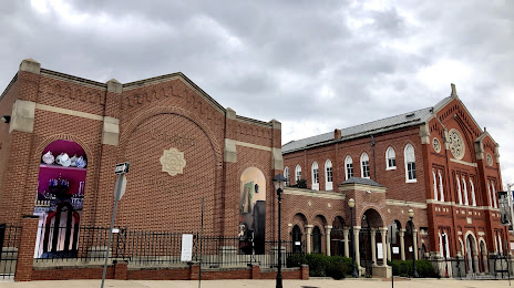
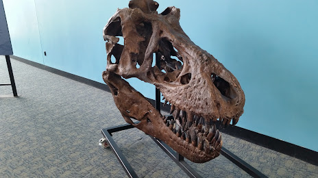
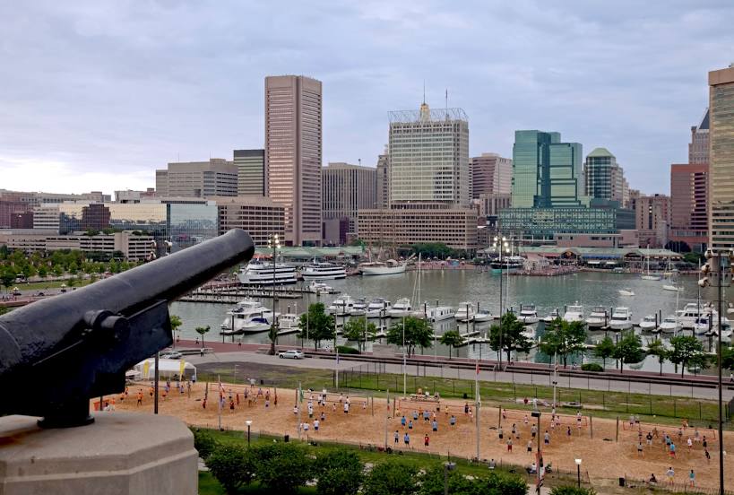
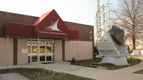
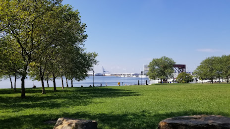
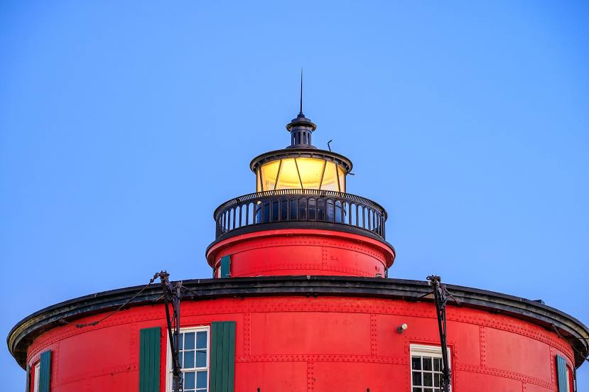
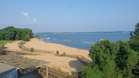
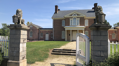
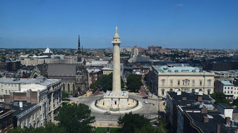
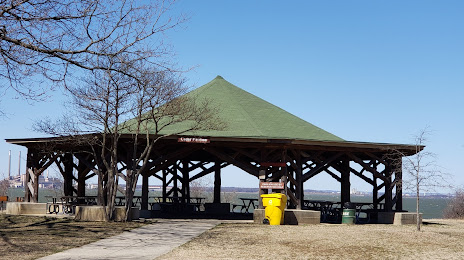
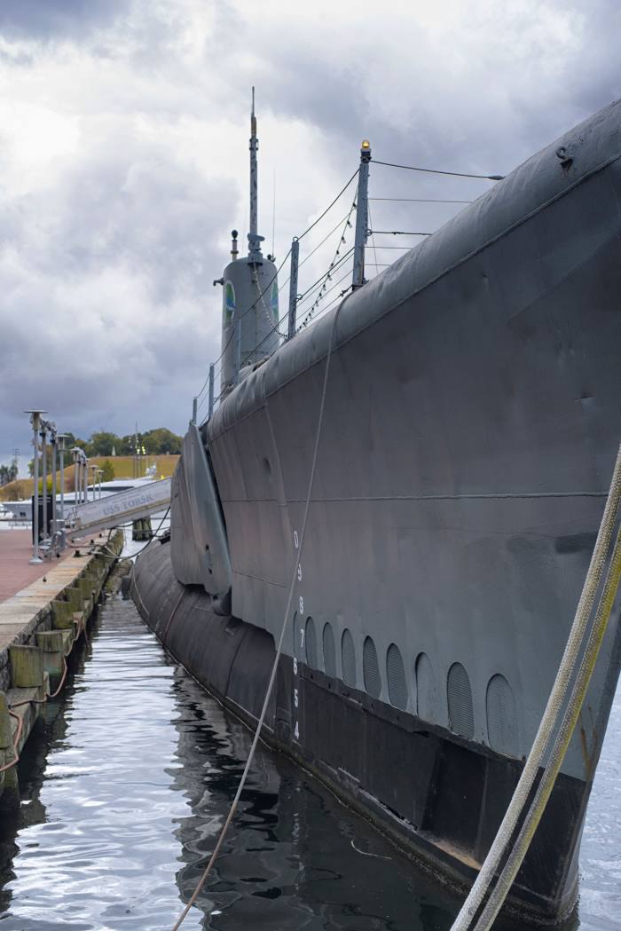
Attractions


Distance to the capital
Distance to the capital (Washington) is about — 56 km.