 Boca Raton
Amesbury
New Brunswick
Los Angeles
Edison
Cape May
Albany
Saddle Brook
South Plainfield
Boston
Glen Burnie
Fort Lee
Dearborn
Round Rock
McKinney
Wilmington
Richmond
Chicago
Haverhill
Boca Raton
Amesbury
New Brunswick
Los Angeles
Edison
Cape May
Albany
Saddle Brook
South Plainfield
Boston
Glen Burnie
Fort Lee
Dearborn
Round Rock
McKinney
Wilmington
Richmond
Chicago
Haverhill
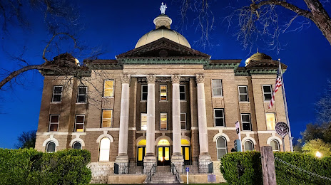
San Marcos on the map, United States
Where is located San Marcos
Exact location — San Marcos, Hays County, Texas, United States, marked on the map with a red marker.
Coordinates
San Marcos, United States coordinates in decimal format: latitude — 29.8832749, longitude — -97.9413941. When converted to degrees, minutes, seconds San Marcos has the following coordinates: 29°52′59.79 north latitude and -97°56′29.02 east longitude.
Population
San Marcos, Hays County, Texas, United States, according to our data the population is — 46,736 residents, which is about 0% of the total population of the country (United States).
Comparison of the population on the graph:
Exact time
Time zone for this location San Marcos — UTC -5 America/Chicago. Exact time — wednesday, 4 april 2024 year, 23 h. 24 minutes.
Sunrise and sunset
San Marcos, sunrise and sunset data for a date — wednesday 24.04.2024.
| Sunrise | Sunset | Day (duration) |
|---|---|---|
| 06:57 -1 minute | 20:02 +1 minute | 13 h. 6 minutes. +2 minutes |
You can control the scale of the map using the auxiliary tools to find out exactly where it is located San Marcos. When you change the scale of the map, the width of the ruler also changes (in kilometers and miles).
Nearby cities
The largest cities that are located nearby:
- Austin — 46 km
- San Antonio — 74 km
- Killeen — 138 km
- Waco — 199 km
- Corpus Christi — 236 km
- Houston — 247 km
- Piedras Negras
 (Mexico) — 282 km
 - Ciudad Acuna (Mexico) — 297 km
- Laredo — 301 km
- Nuevo Laredo (Mexico) — 309 km
- Fort Worth — 323 km
- Arlington — 325 km
- Grand Prairie — 328 km
- Abilene — 329 km
- Irving — 337 km
- Dallas — 337 km
- Mesquite — 342 km
- Carrollton — 356 km
- Garland — 356 km
Distance to neighboring capitals:
- Mexico City (Mexico) — 1169 km
- Belmopan
 (Belize) — 1686 km
 - Guatemala City
 (Guatemala) — 1860 km
 - Ottawa
 (Canada) — 2596 km
 - Nuuk
 (Greenland) — 4980 km
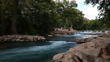
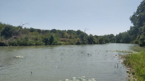
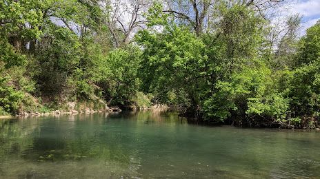
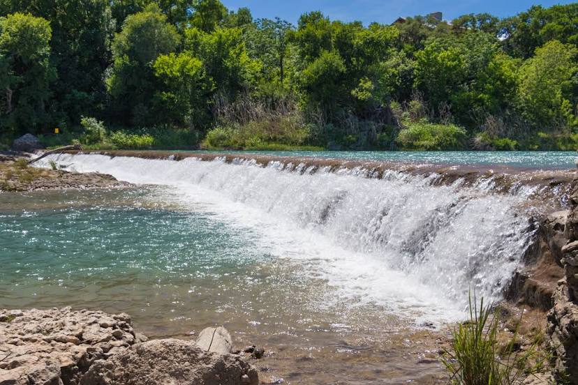
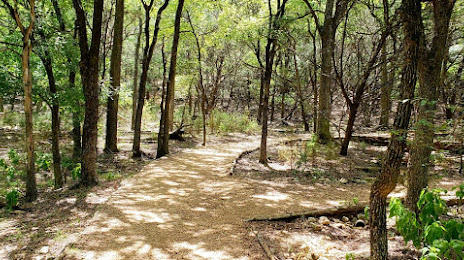
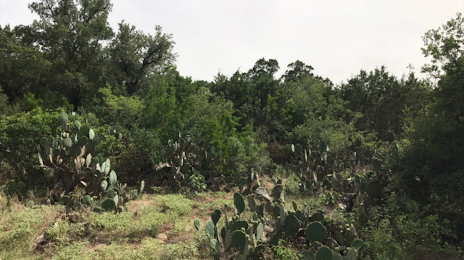
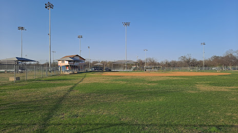
Attractions


Distance to the capital
Distance to the capital (Washington) is about — 2158 km.