 New Brunswick
Los Angeles
Edison
Cape May
Albany
Saddle Brook
South Plainfield
Joplin
Durham
Carlsbad
Hampton
Boston
Glen Burnie
Fort Lee
Dearborn
Round Rock
McKinney
Wilmington
Richmond
New Brunswick
Los Angeles
Edison
Cape May
Albany
Saddle Brook
South Plainfield
Joplin
Durham
Carlsbad
Hampton
Boston
Glen Burnie
Fort Lee
Dearborn
Round Rock
McKinney
Wilmington
Richmond
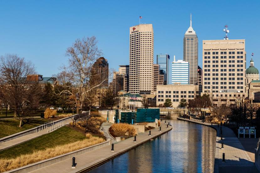
Indianapolis on the map, United States
Where is located Indianapolis
Exact location — Indianapolis, Marion County, Indiana, United States, marked on the map with a red marker.
Coordinates
Indianapolis, United States coordinates in decimal format: latitude — 39.768403, longitude — -86.158068. When converted to degrees, minutes, seconds Indianapolis has the following coordinates: 39°46′6.25 north latitude and -86°9′29.04 east longitude.
Population
Indianapolis, Marion County, Indiana, United States, according to our data the population is — 773,283 residents, which is about 0.2% of the total population of the country (United States).
Comparison of the population on the graph:
Exact time
Time zone for this location Indianapolis — UTC -4 America/New_York. Exact time — thursday, 4 april 2024 year, 10 h. 31 minute.
Sunrise and sunset
Indianapolis, sunrise and sunset data for a date — thursday 18.04.2024.
| Sunrise | Sunset | Day (duration) |
|---|---|---|
| 07:04 -1 minute | 20:23 +1 minute | 13 h. 18 minutes. +2 minutes |
You can control the scale of the map using the auxiliary tools to find out exactly where it is located Indianapolis. When you change the scale of the map, the width of the ruler also changes (in kilometers and miles).
Nearby cities
The largest cities that are located nearby:
- Cincinnati — 159 km
- Fort Wayne — 168 km
- Louisville — 171 km
- Springfield — 200 km
- South Bend — 211 km
- Evansville — 234 km
- Joliet — 251 km
- Chicago — 263 km
- Columbus — 269 km
- Naperville — 274 km
- Aurora — 283 km
- Toledo — 300 km
- Peoria — 305 km
- Ann Arbor — 341 km
- Lansing — 353 km
- Grand Rapids — 355 km
- Rockford — 366 km
- Saint Louis — 371 km
- Clarksville — 374 km
Distance to neighboring capitals:
- Ottawa
 (Canada) — 1061 km
 - Belmopan
 (Belize) — 2517 km
 - Mexico City
 (Mexico) — 2580 km
 - Guatemala City
 (Guatemala) — 2830 km
 - Nuuk
 (Greenland) — 3511 km
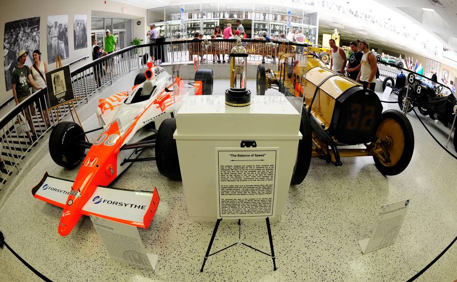
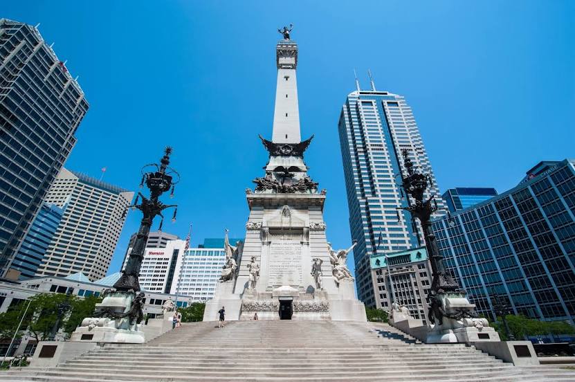
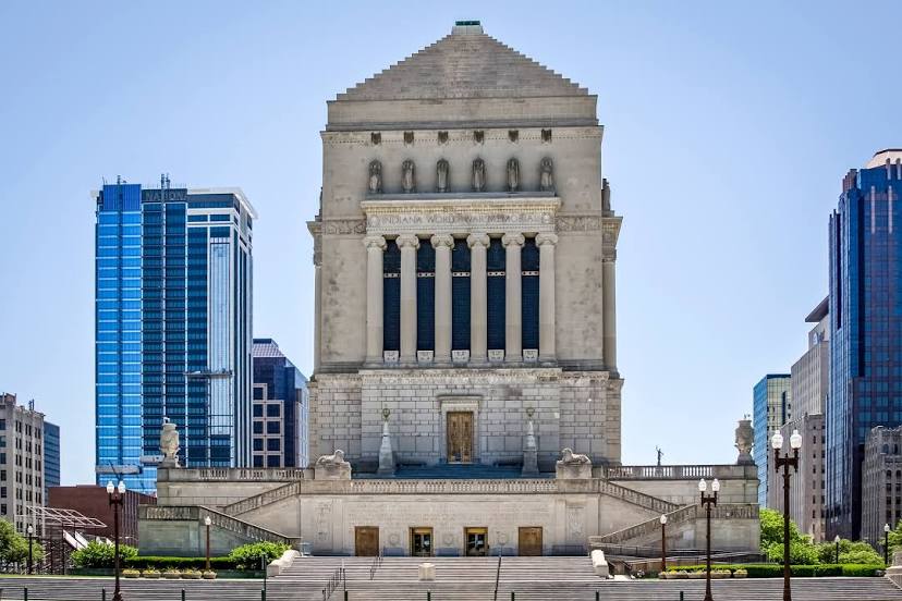
Attractions


Distance to the capital
Distance to the capital (Washington) is about — 790 km.