 Saddle Brook
South Plainfield
Joplin
Durham
San Diego
Matthews
Memphis
Sherman
Westbury
Fairfield
The Colony
Baltimore
Greenwich
Philadelphia
Carlsbad
Hampton
Boston
Glen Burnie
Fort Lee
Saddle Brook
South Plainfield
Joplin
Durham
San Diego
Matthews
Memphis
Sherman
Westbury
Fairfield
The Colony
Baltimore
Greenwich
Philadelphia
Carlsbad
Hampton
Boston
Glen Burnie
Fort Lee
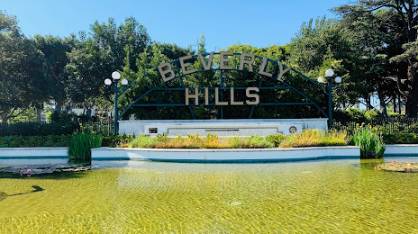
Beverly Hills on the map, United States
Where is located Beverly Hills
Exact location — Beverly Hills, Los Angeles County, California, United States, marked on the map with a red marker.
Coordinates
Beverly Hills, United States coordinates in decimal format: latitude — 34.0736204, longitude — -118.4003563. When converted to degrees, minutes, seconds Beverly Hills has the following coordinates: 34°4′25.03 north latitude and -118°24′1.28 east longitude.
Population
Beverly Hills, Los Angeles County, California, United States, according to our data the population is — 35,355 residents, which is about 0% of the total population of the country (United States).
Comparison of the population on the graph:
Exact time
Time zone for this location Beverly Hills — UTC -7 America/Los_Angeles. Exact time — tuesday, 4 april 2024 year, 17 h. 12 minutes.
Sunrise and sunset
Beverly Hills, sunrise and sunset data for a date — tuesday 23.04.2024.
| Sunrise | Sunset | Day (duration) |
|---|---|---|
| 06:14 -1 minute | 19:28 +1 minute | 13 h. 12 minutes. +2 minutes |
You can control the scale of the map using the auxiliary tools to find out exactly where it is located Beverly Hills. When you change the scale of the map, the width of the ruler also changes (in kilometers and miles).
Nearby cities
The largest cities that are located nearby:
- Universal City — 9 km
- Inglewood — 13 km
- Burbank — 14 km
- Los Angeles — 15 km
- Glendale — 15 km
- East Los Angeles — 22 km
- Pasadena — 25 km
- Torrance — 27 km
- Downey — 29 km
- El Monte — 34 km
- Norwalk — 35 km
- Santa Clarita — 37 km
- Long Beach — 39 km
- Simi Valley — 41 km
- Thousand Oaks — 41 km
- West Covina — 42 km
- Santa Clarita — 42 km
- Fullerton — 49 km
- Anaheim — 52 km
Distance to neighboring capitals:
- Mexico City
 (Mexico) — 2504 km
 - Belmopan
 (Belize) — 3490 km
 - Guatemala City
 (Guatemala) — 3536 km
 - Ottawa
 (Canada) — 3813 km
 - Nuuk
 (Greenland) — 5524 km
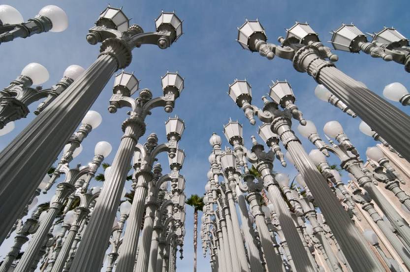
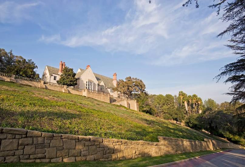
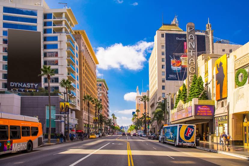
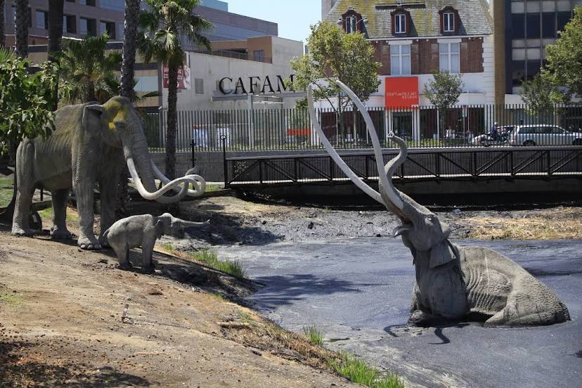
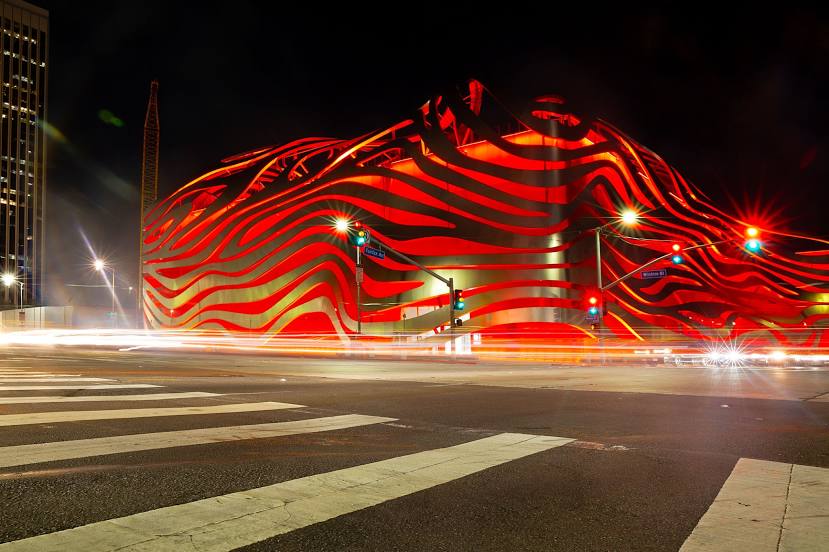
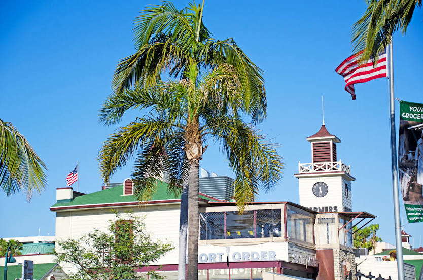
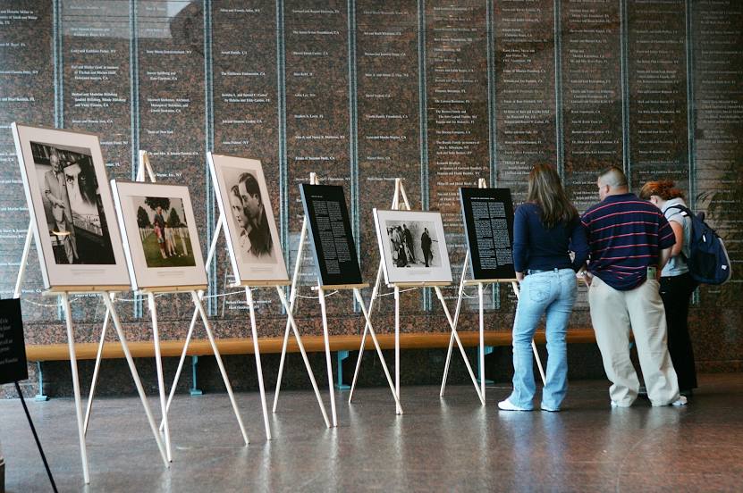
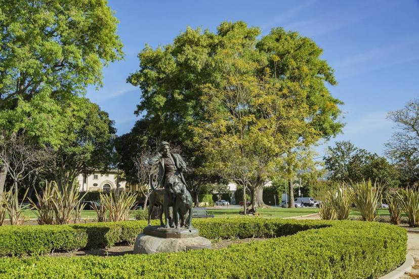
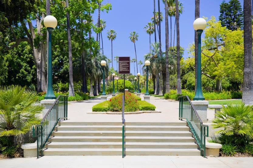
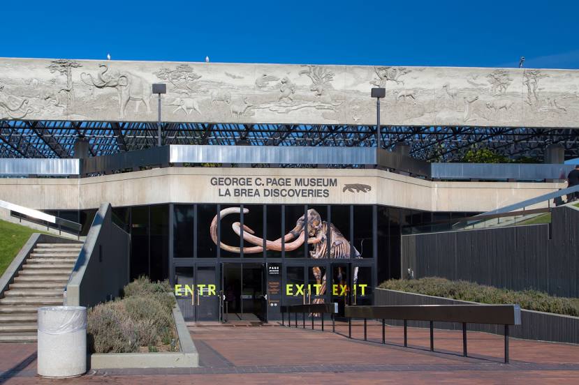
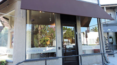
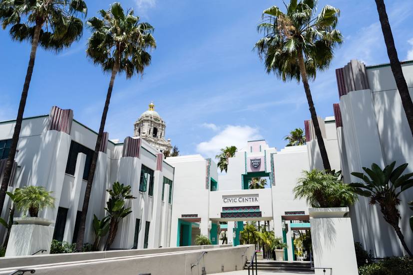
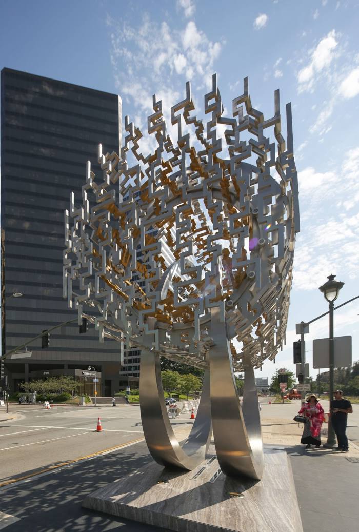
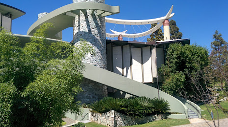
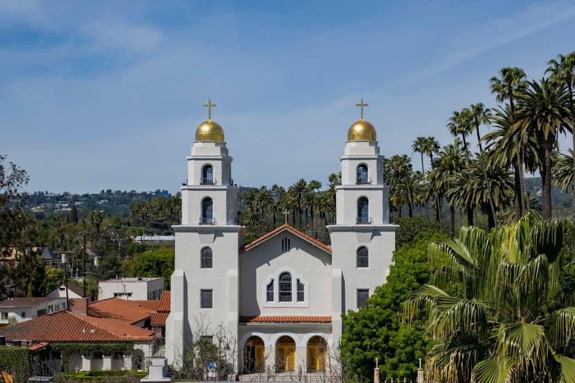
Attractions


Distance to the capital
Distance to the capital (Washington) is about — 3706 km.