 San Diego
Matthews
Memphis
Sherman
Westbury
King of Prussia
Uniondale
Cambridge
Miami
San Marcos
Westerville
Reston
Rocky Mount
Fairfield
The Colony
Baltimore
Greenwich
Philadelphia
Carlsbad
San Diego
Matthews
Memphis
Sherman
Westbury
King of Prussia
Uniondale
Cambridge
Miami
San Marcos
Westerville
Reston
Rocky Mount
Fairfield
The Colony
Baltimore
Greenwich
Philadelphia
Carlsbad
Dallas on the map, United States
Where is located Dallas
Exact location — Dallas, Dallas County, Texas, United States, marked on the map with a red marker.
Coordinates
Dallas, United States coordinates in decimal format: latitude — 32.7766642, longitude — -96.7969879. When converted to degrees, minutes, seconds Dallas has the following coordinates: 32°46′35.99 north latitude and -96°47′49.16 east longitude.
Population
Dallas, Dallas County, Texas, United States, according to our data the population is — 1,211,704 residents, which is about 0.4% of the total population of the country (United States).
Comparison of the population on the graph:
Exact time
Time zone for this location Dallas — UTC -5 America/Chicago. Exact time — tuesday, 4 april 2024 year, 05 h. 50 minutes.
Sunrise and sunset
Dallas, sunrise and sunset data for a date — tuesday 16.04.2024.
| Sunrise | Sunset | Day (duration) |
|---|---|---|
| 06:58 -1 minute | 19:55 +1 minute | 13 h. 0 minutes. +2 minutes |
You can control the scale of the map using the auxiliary tools to find out exactly where it is located Dallas. When you change the scale of the map, the width of the ruler also changes (in kilometers and miles).
Nearby cities
The largest cities that are located nearby:
- Irving — 15 km
- Mesquite — 18 km
- Grand Prairie — 19 km
- Richardson — 20 km
- Garland — 21 km
- Carrollton — 24 km
- Plano — 28 km
- Arlington — 29 km
- Frisco — 41 km
- Fort Worth — 50 km
- Denton — 58 km
- Waco — 140 km
- Wichita Falls — 200 km
- Killeen — 204 km
- Abilene — 276 km
- Norman — 277 km
- Shreveport — 285 km
- Austin — 292 km
- Oklahoma City — 304 km
Distance to neighboring capitals:
- Mexico City
 (Mexico) — 1502 km
 - Belmopan
 (Belize) — 1905 km
 - Guatemala City
 (Guatemala) — 2117 km
 - Ottawa
 (Canada) — 2289 km
 - Nuuk
 (Greenland) — 4644 km
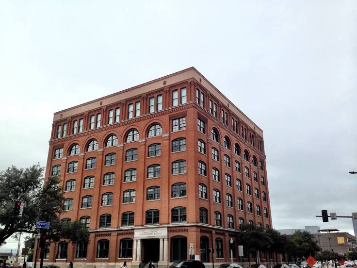
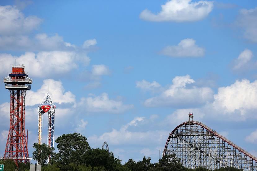
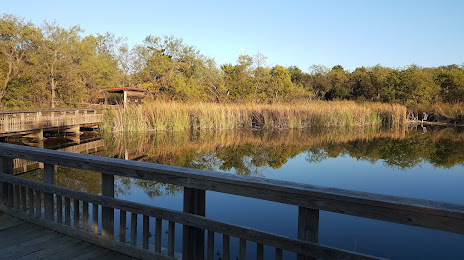
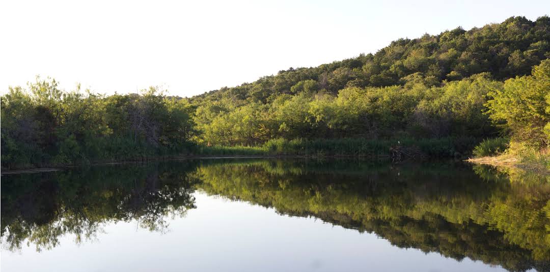
Attractions


Distance to the capital
Distance to the capital (Washington) is about — 1903 km.