 Miami
Irvine
Columbus
Findlay Airport
Danvers
Branford
Providence
Waltham
Newburyport
Silver Spring
Beverly Hills
Granville
Blue Bell
Branchburg
Chandler
Indianapolis
Austin
San Marcos
Westerville
Miami
Irvine
Columbus
Findlay Airport
Danvers
Branford
Providence
Waltham
Newburyport
Silver Spring
Beverly Hills
Granville
Blue Bell
Branchburg
Chandler
Indianapolis
Austin
San Marcos
Westerville
Saddle Brook on the map, United States
Where is located Saddle Brook
Exact location — Saddle Brook, Bergen County, New Jersey, United States, marked on the map with a red marker.
Coordinates
Saddle Brook, United States coordinates in decimal format: latitude — 40.9040085, longitude — -74.1007318. When converted to degrees, minutes, seconds Saddle Brook has the following coordinates: 40°54′14.43 north latitude and -74°6′2.63 east longitude.
Population
Saddle Brook, Bergen County, New Jersey, United States, according to our data the population is — 13,130 residents, which is about 0% of the total population of the country (United States).
Comparison of the population on the graph:
Exact time
Time zone for this location Saddle Brook — UTC -4 America/New_York. Exact time — tuesday, 4 april 2024 year, 09 h. 36 minutes.
Sunrise and sunset
Saddle Brook, sunrise and sunset data for a date — tuesday 23.04.2024.
| Sunrise | Sunset | Day (duration) |
|---|---|---|
| 06:07 -1 minute | 19:41 +1 minute | 13 h. 36 minutes. +2 minutes |
You can control the scale of the map using the auxiliary tools to find out exactly where it is located Saddle Brook. When you change the scale of the map, the width of the ruler also changes (in kilometers and miles).
Nearby cities
The largest cities that are located nearby:
- Paterson — 6 km
- Yonkers — 17 km
- Newark — 20 km
- New York — 23 km
- Brooklyn — 25 km
- Elizabeth — 28 km
- Stamford — 50 km
- Edison — 50 km
- Bridgeport — 82 km
- Toms River — 105 km
- New Haven — 107 km
- Waterbury — 113 km
- Allentown — 121 km
- Philadelphia — 139 km
- Hartford — 151 km
- Springfield — 181 km
- Amherst — 206 km
- Worcester — 241 km
- Providence — 244 km
Distance to neighboring capitals:
- Ottawa
 (Canada) — 519 km
 - Nuuk
 (Greenland) — 2962 km
 - Belmopan
 (Belize) — 2982 km
 - Guatemala City
 (Guatemala) — 3328 km
 - Mexico City
 (Mexico) — 3367 km
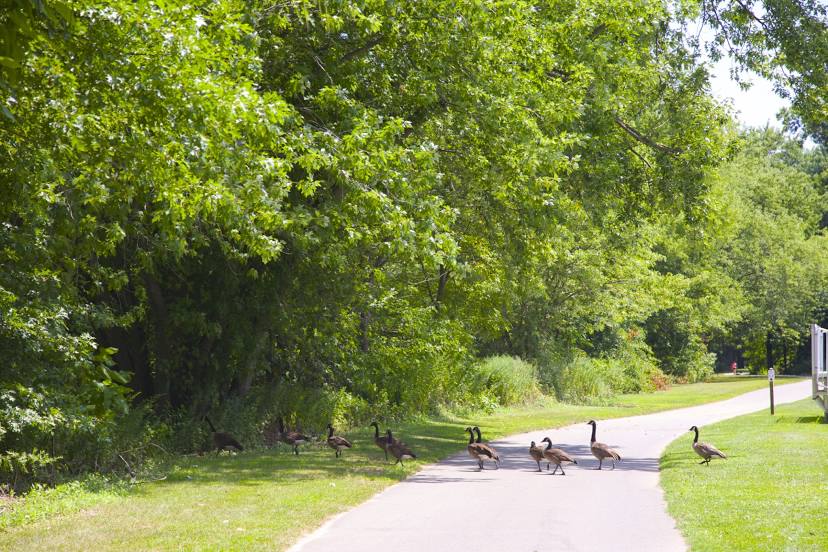
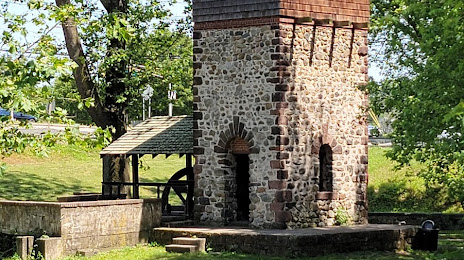
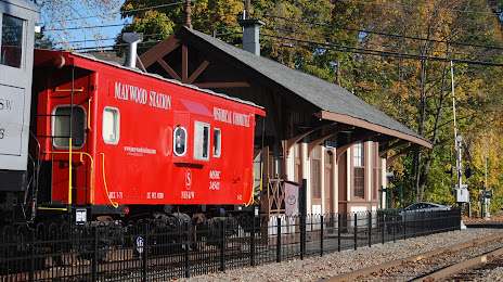
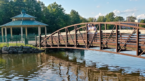
Attractions


Distance to the capital
Distance to the capital (Washington) is about — 335 km.