 Columbus
Findlay Airport
Danvers
Branford
Providence
Waltham
Newburyport
Bedford
North Bend
Williston
Huntley
Silver Spring
Beverly Hills
Granville
Blue Bell
Branchburg
Chandler
Indianapolis
Austin
Columbus
Findlay Airport
Danvers
Branford
Providence
Waltham
Newburyport
Bedford
North Bend
Williston
Huntley
Silver Spring
Beverly Hills
Granville
Blue Bell
Branchburg
Chandler
Indianapolis
Austin
Joplin on the map, United States
Where is located Joplin
Exact location — Joplin, Jasper County, Missouri, United States, marked on the map with a red marker.
Coordinates
Joplin, United States coordinates in decimal format: latitude — 37.0842271, longitude — -94.513281. When converted to degrees, minutes, seconds Joplin has the following coordinates: 37°5′3.22 north latitude and -94°30′47.81 east longitude.
Population
Joplin, Jasper County, Missouri, United States, according to our data the population is — 46,818 residents, which is about 0% of the total population of the country (United States).
Comparison of the population on the graph:
Exact time
Time zone for this location Joplin — UTC -5 America/Chicago. Exact time — saturday, 4 april 2024 year, 07 h. 59 minutes.
Sunrise and sunset
Joplin, sunrise and sunset data for a date — saturday 20.04.2024.
| Sunrise | Sunset | Day (duration) |
|---|---|---|
| 06:38 -2 minutes | 19:54 +1 minute | 13 h. 18 minutes. +3 minutes |
You can control the scale of the map using the auxiliary tools to find out exactly where it is located Joplin. When you change the scale of the map, the width of the ruler also changes (in kilometers and miles).
Nearby cities
The largest cities that are located nearby:
- Springfield — 108 km
- Tulsa — 167 km
- Olathe — 200 km
- Overland Park — 210 km
- Independence — 222 km
- Kansas City — 223 km
- North Kansas City — 228 km
- Topeka — 240 km
- Wichita — 256 km
- Oklahoma City — 324 km
- Little Rock — 328 km
- Norman — 335 km
- Saint Louis — 410 km
- Lincoln — 452 km
- Memphis — 457 km
- Omaha — 477 km
- Frisco — 485 km
- Denton — 492 km
- Plano — 493 km
Distance to neighboring capitals:
- Ottawa
 (Canada) — 1820 km
 - Mexico City
 (Mexico) — 2014 km
 - Belmopan
 (Belize) — 2277 km
 - Guatemala City
 (Guatemala) — 2530 km
 - Nuuk
 (Greenland) — 4124 km
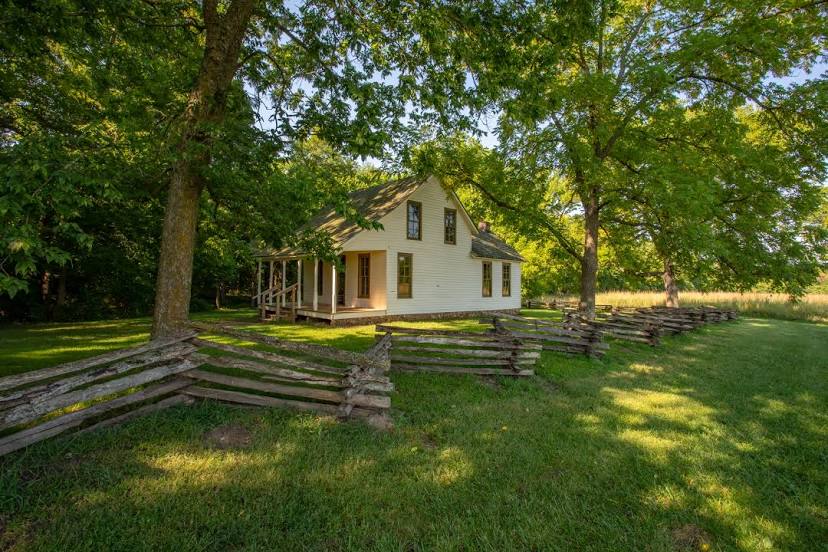
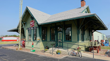
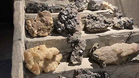
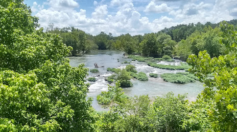
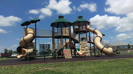
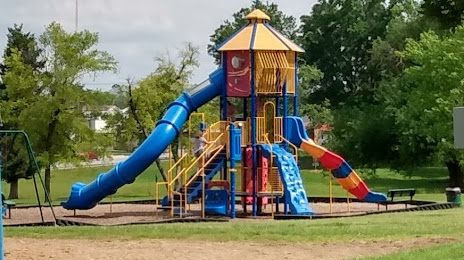
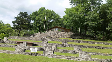
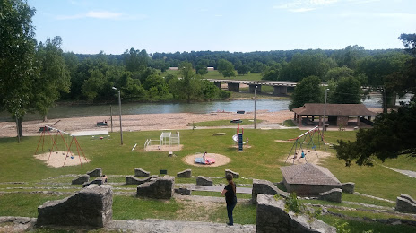
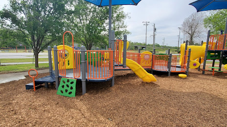
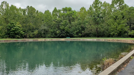
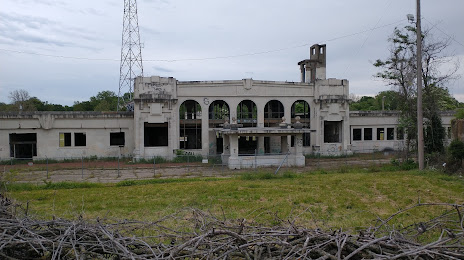
Attractions


Distance to the capital
Distance to the capital (Washington) is about — 1543 km.