 Merrimac
Syracuse
Addison
Norwell
Burlington
Belmont
Beaverton
Bowie
Morristown
Durham
Joplin
South Plainfield
Saddle Brook
Albany
Cape May
Edison
Los Angeles
New Brunswick
Amesbury
Merrimac
Syracuse
Addison
Norwell
Burlington
Belmont
Beaverton
Bowie
Morristown
Durham
Joplin
South Plainfield
Saddle Brook
Albany
Cape May
Edison
Los Angeles
New Brunswick
Amesbury
Columbus on the map, United States
Where is located Columbus
Exact location — Columbus, Franklin County, Ohio, United States, marked on the map with a red marker.
Coordinates
Columbus, United States coordinates in decimal format: latitude — 39.9611755, longitude — -82.9987942. When converted to degrees, minutes, seconds Columbus has the following coordinates: 39°57′40.23 north latitude and -82°59′55.66 east longitude.
Population
Columbus, Franklin County, Ohio, United States, according to our data the population is — 736,836 residents, which is about 0.2% of the total population of the country (United States).
Comparison of the population on the graph:
Exact time
Time zone for this location Columbus — UTC -4 America/New_York. Exact time — wednesday, 4 april 2024 year, 22 h. 10 minutes.
Sunrise and sunset
Columbus, sunrise and sunset data for a date — wednesday 24.04.2024.
| Sunrise | Sunset | Day (duration) |
|---|---|---|
| 06:43 -1 minute | 20:16 +1 minute | 13 h. 36 minutes. +2 minutes |
You can control the scale of the map using the auxiliary tools to find out exactly where it is located Columbus. When you change the scale of the map, the width of the ruler also changes (in kilometers and miles).
Nearby cities
The largest cities that are located nearby:
- Springfield — 69 km
- Cincinnati — 161 km
- Akron — 175 km
- Toledo — 194 km
- Cleveland — 201 km
- Aurora — 203 km
- Fort Wayne — 217 km
- Pittsburgh — 258 km
- Windsor
 (Canada) — 260 km
 - Detroit — 262 km
- Ann Arbor — 264 km
- Indianapolis — 269 km
- Warren — 282 km
- Sterling Heights — 290 km
- Louisville — 305 km
- South Bend — 329 km
- Lansing — 331 km
- Flint — 342 km
- London (Canada) — 363 km
Distance to neighboring capitals:
- Ottawa (Canada) — 851 km
- Belmopan
 (Belize) — 2586 km
 - Mexico City
 (Mexico) — 2755 km
 - Guatemala City
 (Guatemala) — 2913 km
 - Nuuk
 (Greenland) — 3368 km
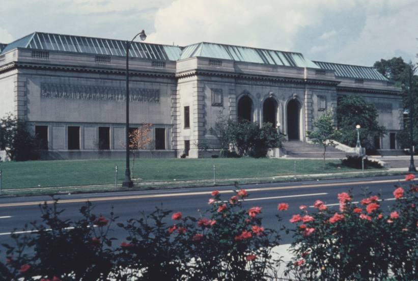
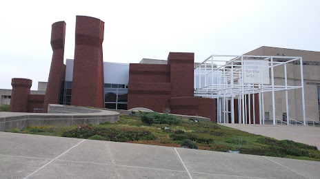
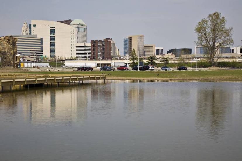
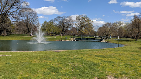
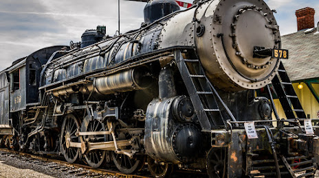
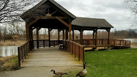
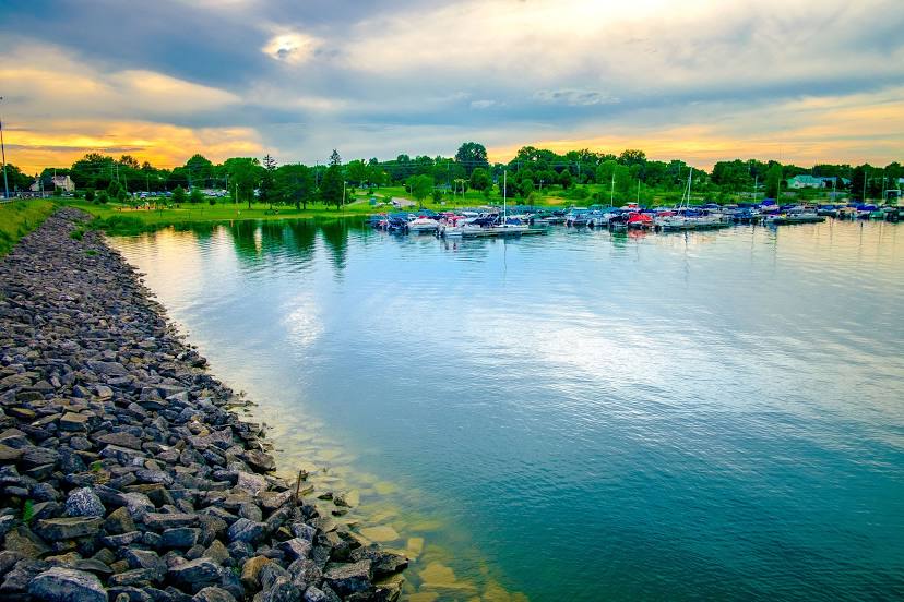
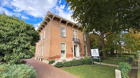
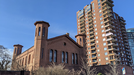
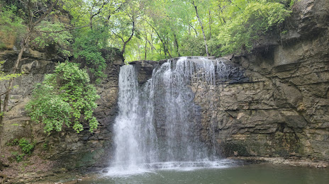
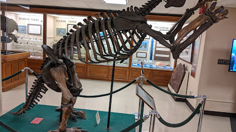
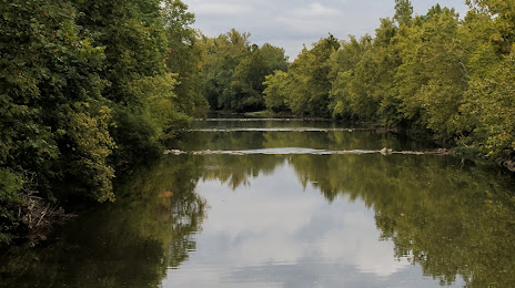
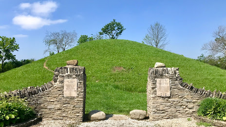
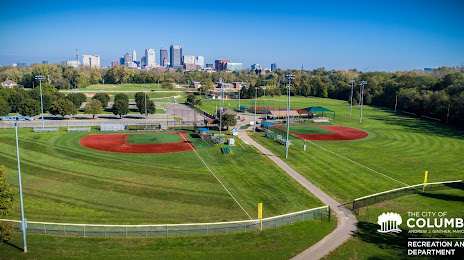
Attractions


Distance to the capital
Distance to the capital (Washington) is about — 525 km.