 Norwell
Burlington
Belmont
Beaverton
Bowie
Morristown
North Wales
Celina
Shakopee
Memphis
Matthews
San Diego
Durham
Joplin
South Plainfield
Saddle Brook
Albany
Cape May
Edison
Norwell
Burlington
Belmont
Beaverton
Bowie
Morristown
North Wales
Celina
Shakopee
Memphis
Matthews
San Diego
Durham
Joplin
South Plainfield
Saddle Brook
Albany
Cape May
Edison
Branford on the map, United States
Where is located Branford
Exact location — Branford, New Haven County, Connecticut, United States, marked on the map with a red marker.
Coordinates
Branford, United States coordinates in decimal format: latitude — 41.2799027, longitude — -72.8141185. When converted to degrees, minutes, seconds Branford has the following coordinates: 41°16′47.65 north latitude and -72°48′50.83 east longitude.
Population
Branford, New Haven County, Connecticut, United States, according to our data the population is — 29,438 residents, which is about 0% of the total population of the country (United States).
Comparison of the population on the graph:
Exact time
Time zone for this location Branford — UTC -4 America/New_York. Exact time — wednesday, 4 april 2024 year, 00 h. 10 minutes.
Sunrise and sunset
Branford, sunrise and sunset data for a date — wednesday 24.04.2024.
| Sunrise | Sunset | Day (duration) |
|---|---|---|
| 06:00 -1 minute | 19:38 +1 minute | 13 h. 36 minutes. +2 minutes |
You can control the scale of the map using the auxiliary tools to find out exactly where it is located Branford. When you change the scale of the map, the width of the ruler also changes (in kilometers and miles).
Nearby cities
The largest cities that are located nearby:
- New Haven — 10 km
- Bridgeport — 33 km
- Waterbury — 36 km
- Hartford — 55 km
- Stamford — 65 km
- Springfield — 93 km
- Yonkers — 98 km
- New York — 118 km
- Brooklyn — 118 km
- Amherst — 120 km
- Paterson — 120 km
- Newark — 129 km
- Providence — 130 km
- Elizabeth — 135 km
- Worcester — 137 km
- Edison — 158 km
- Cambridge — 184 km
- Boston — 187 km
- Toms River — 188 km
Distance to neighboring capitals:
- Ottawa
 (Canada) — 516 km
 - Nuuk
 (Greenland) — 2884 km
 - Belmopan
 (Belize) — 3077 km
 - Guatemala City
 (Guatemala) — 3424 km
 - Mexico City
 (Mexico) — 3478 km
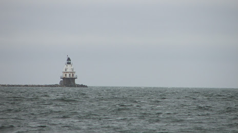
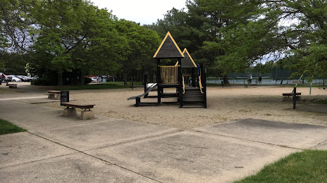
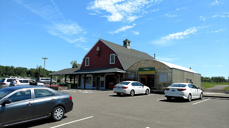
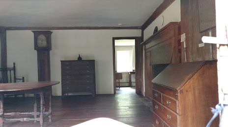
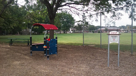
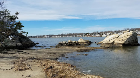
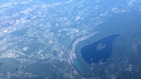
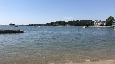
Attractions


Distance to the capital
Distance to the capital (Washington) is about — 446 km.