 Beaverton
Bowie
Morristown
North Wales
Celina
Shakopee
Clearwater
Omaha
Mountain View
King of Prussia
Westbury
Sherman
Memphis
Matthews
San Diego
Durham
Joplin
South Plainfield
Saddle Brook
Beaverton
Bowie
Morristown
North Wales
Celina
Shakopee
Clearwater
Omaha
Mountain View
King of Prussia
Westbury
Sherman
Memphis
Matthews
San Diego
Durham
Joplin
South Plainfield
Saddle Brook
Newburyport on the map, United States
Where is located Newburyport
Exact location — Newburyport, Essex County, Massachusetts, United States, marked on the map with a red marker.
Coordinates
Newburyport, United States coordinates in decimal format: latitude — 42.8125913, longitude — -70.8772751. When converted to degrees, minutes, seconds Newburyport has the following coordinates: 42°48′45.33 north latitude and -70°52′38.19 east longitude.
Population
Newburyport, Essex County, Massachusetts, United States, according to our data the population is — 17,575 residents, which is about 0% of the total population of the country (United States).
Comparison of the population on the graph:
Exact time
Time zone for this location Newburyport — UTC -4 America/New_York. Exact time — friday, 4 april 2024 year, 22 h. 49 minutes.
Sunrise and sunset
Newburyport, sunrise and sunset data for a date — friday 19.04.2024.
| Sunrise | Sunset | Day (duration) |
|---|---|---|
| 05:57 -2 minutes | 19:27 +1 minute | 13 h. 30 minutes. +3 minutes |
You can control the scale of the map using the auxiliary tools to find out exactly where it is located Newburyport. When you change the scale of the map, the width of the ruler also changes (in kilometers and miles).
Nearby cities
The largest cities that are located nearby:
- Lowell — 41 km
- Manchester — 51 km
- Cambridge — 52 km
- Boston — 52 km
- Worcester — 97 km
- Providence — 118 km
- Amherst — 142 km
- Springfield — 161 km
- Hartford — 189 km
- Waterbury — 227 km
- New Haven — 238 km
- Bridgeport — 264 km
- Stamford — 295 km
- Sherbrooke
 (Canada) — 297 km
 - Yonkers — 327 km
- Paterson — 346 km
- New York — 350 km
- Brooklyn — 351 km
- Newark — 359 km
Distance to neighboring capitals:
- Ottawa (Canada) — 482 km
- Nuuk
 (Greenland) — 2668 km
 - Belmopan
 (Belize) — 3308 km
 - Guatemala City
 (Guatemala) — 3656 km
 - Mexico City
 (Mexico) — 3708 km
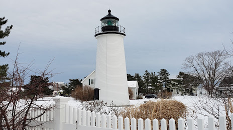
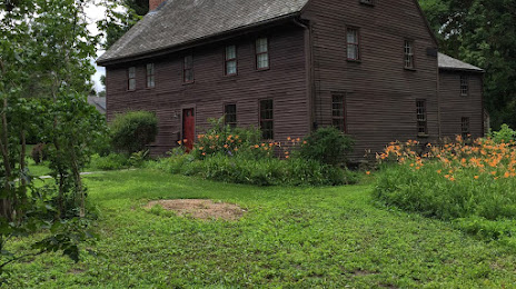
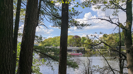
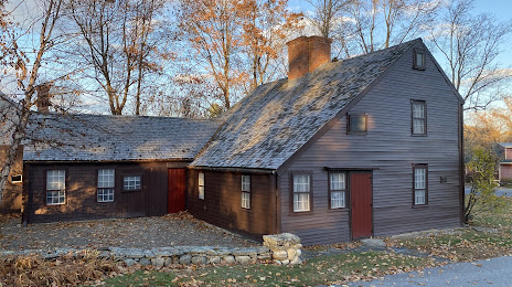
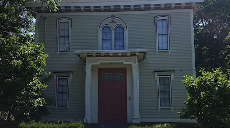
Attractions


Distance to the capital
Distance to the capital (Washington) is about — 676 km.