 Shakopee
Clearwater
Omaha
Mountain View
Fort Payne
Irving
Traverse City
Hickory
Atlanta
Columbus
Irvine
Miami
Cambridge
Uniondale
King of Prussia
Westbury
Sherman
Memphis
Matthews
Shakopee
Clearwater
Omaha
Mountain View
Fort Payne
Irving
Traverse City
Hickory
Atlanta
Columbus
Irvine
Miami
Cambridge
Uniondale
King of Prussia
Westbury
Sherman
Memphis
Matthews
Laconia on the map, United States
Where is located Laconia
Exact location — Laconia, Belknap County, New Hampshire, United States, marked on the map with a red marker.
Coordinates
Laconia, United States coordinates in decimal format: latitude — 43.5278546, longitude — -71.4703509. When converted to degrees, minutes, seconds Laconia has the following coordinates: 43°31′40.28 north latitude and -71°28′13.26 east longitude.
Population
Laconia, Belknap County, New Hampshire, United States, according to our data the population is — 17,533 residents, which is about 0% of the total population of the country (United States).
Comparison of the population on the graph:
Exact time
Time zone for this location Laconia — UTC -4 America/New_York. Exact time — tuesday, 4 april 2024 year, 22 h. 41 minute.
Sunrise and sunset
Laconia, sunrise and sunset data for a date — tuesday 23.04.2024.
| Sunrise | Sunset | Day (duration) |
|---|---|---|
| 05:52 -1 minute | 19:35 +1 minute | 13 h. 42 minutes. +2 minutes |
You can control the scale of the map using the auxiliary tools to find out exactly where it is located Laconia. When you change the scale of the map, the width of the ruler also changes (in kilometers and miles).
Nearby cities
The largest cities that are located nearby:
- Manchester — 59 km
- Lowell — 100 km
- Cambridge — 131 km
- Boston — 133 km
- Worcester — 143 km
- Amherst — 156 km
- Springfield — 182 km
- Providence — 188 km
- Sherbrooke
 (Canada) — 210 km
 - Hartford — 219 km
- Waterbury — 254 km
- Montreal (Canada) — 272 km
- Longueuil (Canada) — 273 km
- New Haven — 274 km
- Laval (Canada) — 288 km
- Bridgeport — 296 km
- Trois-Rivières (Canada) — 322 km
- Stamford — 323 km
- Yonkers — 352 km
Distance to neighboring capitals:
- Ottawa (Canada) — 396 km
- Nuuk
 (Greenland) — 2611 km
 - Belmopan
 (Belize) — 3345 km
 - Guatemala City
 (Guatemala) — 3692 km
 - Mexico City
 (Mexico) — 3717 km
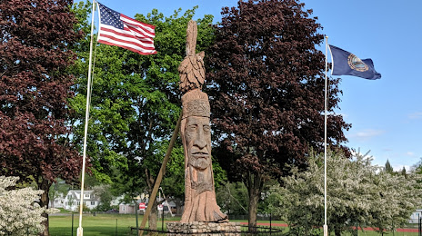
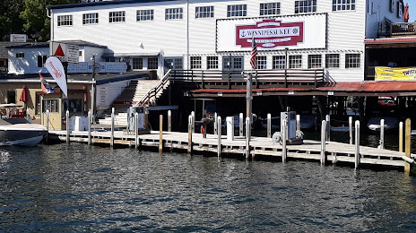
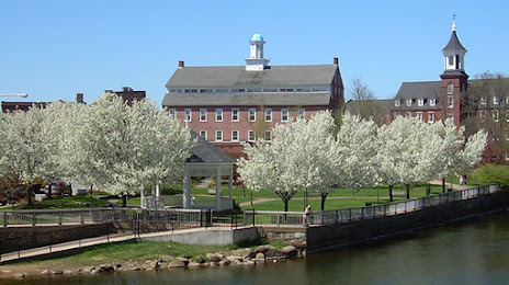
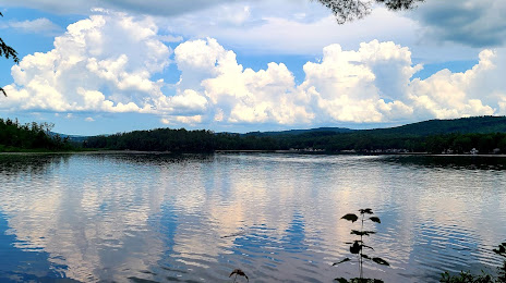
Attractions


Distance to the capital
Distance to the capital (Washington) is about — 693 km.