 Hickory
Atlanta
Albion
South Bend
Sturtevant
Logansport
Perris
Issaquah
Morehead
Bedford
Newburyport
Waltham
Providence
Branford
Danvers
Findlay Airport
Columbus
Irvine
Miami
Hickory
Atlanta
Albion
South Bend
Sturtevant
Logansport
Perris
Issaquah
Morehead
Bedford
Newburyport
Waltham
Providence
Branford
Danvers
Findlay Airport
Columbus
Irvine
Miami
Beaverton on the map, United States
Where is located Beaverton
Exact location — Beaverton, Washington County, Oregon, United States, marked on the map with a red marker.
Coordinates
Beaverton, United States coordinates in decimal format: latitude — 45.487062, longitude — -122.8037102. When converted to degrees, minutes, seconds Beaverton has the following coordinates: 45°29′13.42 north latitude and -122°48′13.36 east longitude.
Population
Beaverton, Washington County, Oregon, United States, according to our data the population is — 82,648 residents, which is about 0% of the total population of the country (United States).
Comparison of the population on the graph:
Exact time
Time zone for this location Beaverton — UTC -7 America/Los_Angeles. Exact time — thursday, 4 april 2024 year, 03 h. 29 minutes.
Sunrise and sunset
Beaverton, sunrise and sunset data for a date — thursday 25.04.2024.
| Sunrise | Sunset | Day (duration) |
|---|---|---|
| 06:10 -2 minutes | 20:07 +1 minute | 14 h. 0 minutes. +3 minutes |
You can control the scale of the map using the auxiliary tools to find out exactly where it is located Beaverton. When you change the scale of the map, the width of the ruler also changes (in kilometers and miles).
Nearby cities
The largest cities that are located nearby:
- Portland — 11 km
- Vancouver — 20 km
- Salem — 63 km
- Eugene — 160 km
- Tacoma — 197 km
- Seattle — 237 km
- Bellevue — 239 km
- Victoria
 (Canada) — 328 km
 - Abbotsford (Canada) — 396 km
- Delta (Canada) — 399 km
- Richmond (Canada) — 408 km
- Surrey (Canada) — 409 km
- Burnaby (Canada) — 418 km
- Coquitlam (Canada) — 420 km
- Anmore (Canada) — 423 km
- Spokane — 467 km
- Kelowna (Canada) — 541 km
- Boise — 566 km
- Reno — 706 km
Distance to neighboring capitals:
- Ottawa (Canada) — 3621 km
- Mexico City
 (Mexico) — 3622 km
 - Belmopan
 (Belize) — 4446 km
 - Guatemala City
 (Guatemala) — 4572 km
 - Nuuk
 (Greenland) — 4692 km
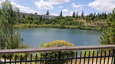
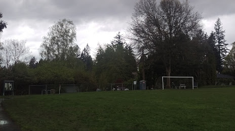
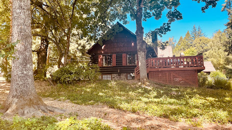
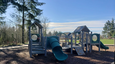
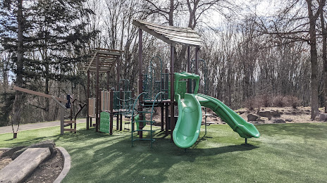
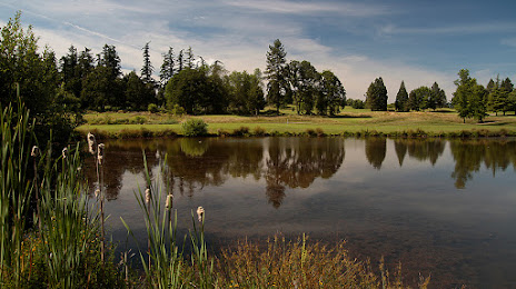
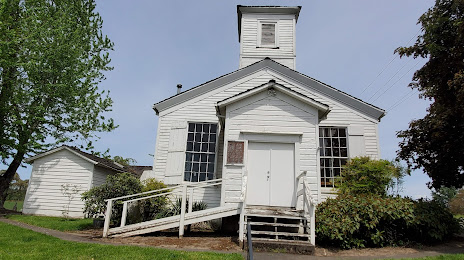
Attractions


Distance to the capital
Distance to the capital (Washington) is about — 3789 km.