 Atlanta
Albion
South Bend
Sturtevant
Logansport
Perris
Issaquah
Morehead
Saint Clair Shores
North Bend
Bedford
Newburyport
Waltham
Providence
Branford
Danvers
Findlay Airport
Columbus
Irvine
Atlanta
Albion
South Bend
Sturtevant
Logansport
Perris
Issaquah
Morehead
Saint Clair Shores
North Bend
Bedford
Newburyport
Waltham
Providence
Branford
Danvers
Findlay Airport
Columbus
Irvine
Bowie on the map, United States
Where is located Bowie
Exact location — Bowie, Prince George's County, Maryland, United States, marked on the map with a red marker.
Coordinates
Bowie, United States coordinates in decimal format: latitude — 39.0067768, longitude — -76.7791365. When converted to degrees, minutes, seconds Bowie has the following coordinates: 39°0′24.4 north latitude and -76°46′44.89 east longitude.
Population
Bowie, Prince George's County, Maryland, United States, according to our data the population is — 56,050 residents, which is about 0% of the total population of the country (United States).
Comparison of the population on the graph:
Exact time
Time zone for this location Bowie — UTC -4 America/New_York. Exact time — thursday, 4 april 2024 year, 13 h. 38 minutes.
Sunrise and sunset
Bowie, sunrise and sunset data for a date — thursday 25.04.2024.
| Sunrise | Sunset | Day (duration) |
|---|---|---|
| 06:18 -1 minute | 19:51 +1 minute | 13 h. 36 minutes. +2 minutes |
You can control the scale of the map using the auxiliary tools to find out exactly where it is located Bowie. When you change the scale of the map, the width of the ruler also changes (in kilometers and miles).
Nearby cities
The largest cities that are located nearby:
- Alexandria — 32 km
- Baltimore — 34 km
- Richmond — 172 km
- Philadelphia — 172 km
- Allentown — 208 km
- Hampton — 222 km
- Norfolk — 242 km
- Toms River — 243 km
- Virginia Beach — 248 km
- Chesapeake — 251 km
- Edison — 260 km
- Elizabeth — 283 km
- Newark — 290 km
- Brooklyn — 299 km
- New York — 299 km
- Paterson — 303 km
- Pittsburgh — 314 km
- Yonkers — 321 km
- Stamford — 352 km
Distance to neighboring capitals:
- Ottawa
 (Canada) — 719 km
 - Belmopan
 (Belize) — 2684 km
 - Guatemala City
 (Guatemala) — 3029 km
 - Mexico City
 (Mexico) — 3057 km
 - Nuuk
 (Greenland) — 3244 km
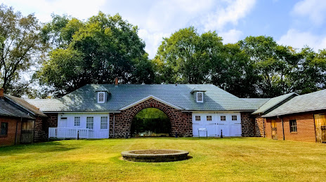
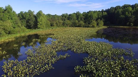
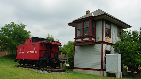
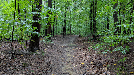
Attractions


Distance to the capital
Distance to the capital (Washington) is about — 25 km.