 Warner Robins
Vienna
Minneapolis
Norwich Landing Strip
Urbandale
Omro
Rosamond
Perry
Saint Paul
Beaverton
Belmont
Burlington
Norwell
Addison
Syracuse
Merrimac
Laconia
Dedham
Woburn
Warner Robins
Vienna
Minneapolis
Norwich Landing Strip
Urbandale
Omro
Rosamond
Perry
Saint Paul
Beaverton
Belmont
Burlington
Norwell
Addison
Syracuse
Merrimac
Laconia
Dedham
Woburn
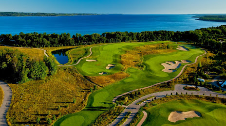
Traverse City on the map, United States
Where is located Traverse City
Exact location — Traverse City, Grand Traverse County, Michigan, United States, marked on the map with a red marker.
Coordinates
Traverse City, United States coordinates in decimal format: latitude — 44.7630567, longitude — -85.6206317. When converted to degrees, minutes, seconds Traverse City has the following coordinates: 44°45′47 north latitude and -85°37′14.27 east longitude.
Population
Traverse City, Grand Traverse County, Michigan, United States, according to our data the population is — 14,425 residents, which is about 0% of the total population of the country (United States).
Comparison of the population on the graph:
Exact time
Time zone for this location Traverse City — UTC -4 America/New_York. Exact time — thursday, 4 april 2024 year, 13 h. 09 minutes.
Sunrise and sunset
Traverse City, sunrise and sunset data for a date — thursday 25.04.2024.
| Sunrise | Sunset | Day (duration) |
|---|---|---|
| 06:43 -2 minutes | 20:37 +2 minutes | 13 h. 54 minutes. +4 minutes |
You can control the scale of the map using the auxiliary tools to find out exactly where it is located Traverse City. When you change the scale of the map, the width of the ruler also changes (in kilometers and miles).
Nearby cities
The largest cities that are located nearby:
- Green Bay — 191 km
- Grand Rapids — 199 km
- Lansing — 241 km
- Flint — 249 km
- Milwaukee — 265 km
- Ann Arbor — 314 km
- Sterling Heights — 320 km
- Warren — 327 km
- Detroit — 341 km
- Windsor
 (Canada) — 343 km
 - South Bend — 345 km
- Madison — 358 km
- Chicago — 359 km
- Toledo — 383 km
- Naperville — 393 km
- Rockford — 396 km
- Aurora — 400 km
- London (Canada) — 405 km
- Fort Wayne — 409 km
Distance to neighboring capitals:
- Ottawa (Canada) — 782 km
- Nuuk
 (Greenland) — 3008 km
 - Belmopan
 (Belize) — 3074 km
 - Mexico City
 (Mexico) — 3082 km
 - Guatemala City
 (Guatemala) — 3385 km
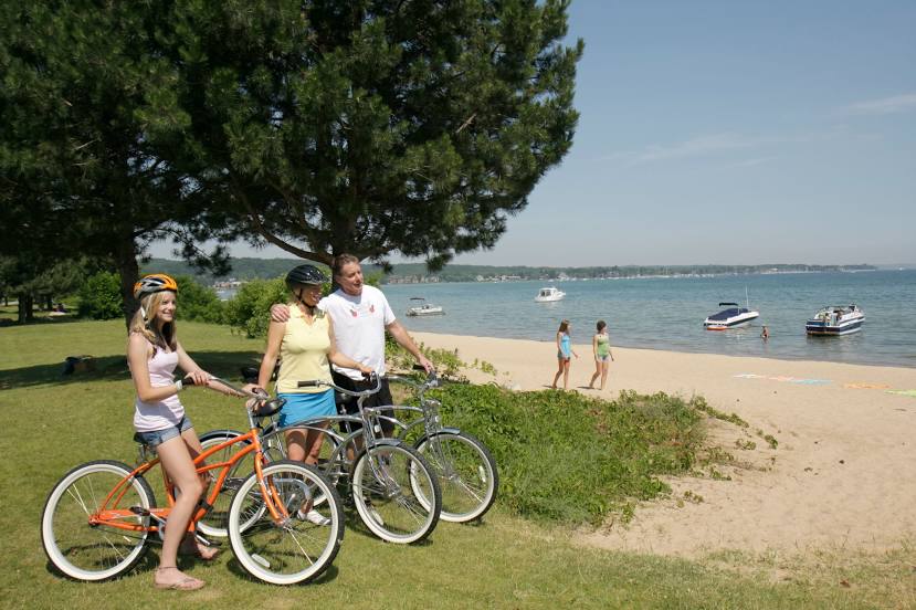
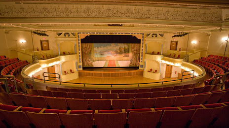
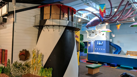
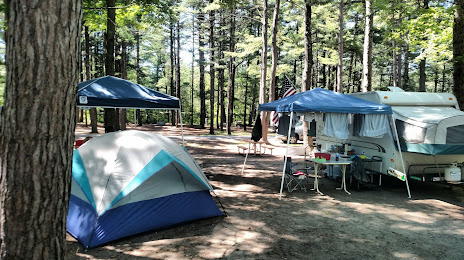
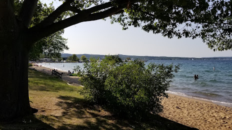
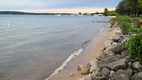
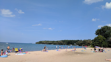
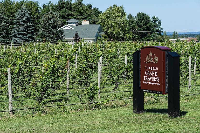
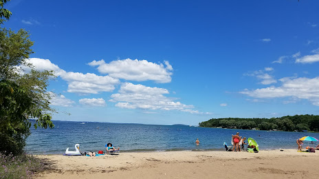
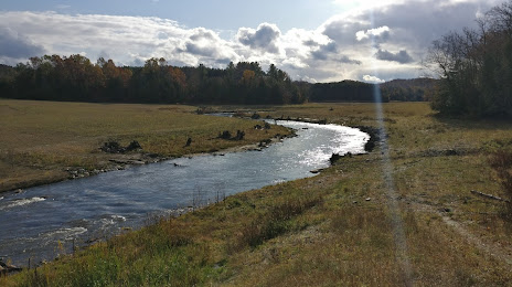
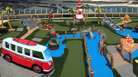
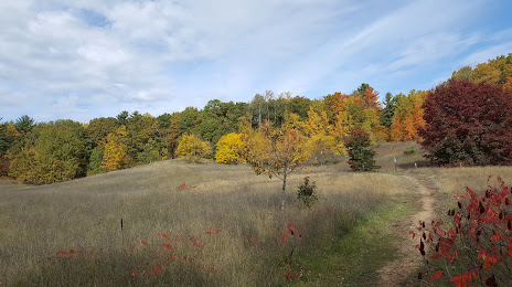
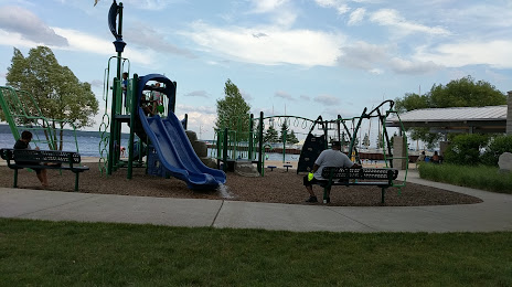
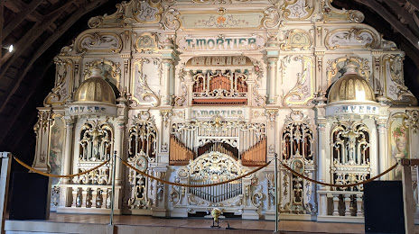
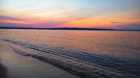
Attractions


Distance to the capital
Distance to the capital (Washington) is about — 963 km.