 Perry
Saint Paul
Amarillo
Evansville
Southfield
Flora
Auburn Hills
Lisle
Naperville
Omaha
Clearwater
Shakopee
Celina
North Wales
Morristown
Bowie
Beaverton
Belmont
Burlington
Perry
Saint Paul
Amarillo
Evansville
Southfield
Flora
Auburn Hills
Lisle
Naperville
Omaha
Clearwater
Shakopee
Celina
North Wales
Morristown
Bowie
Beaverton
Belmont
Burlington
Perris on the map, United States
Where is located Perris
Exact location — Perris, Riverside County, California, United States, marked on the map with a red marker.
Coordinates
Perris, United States coordinates in decimal format: latitude — 33.7825194, longitude — -117.2286478. When converted to degrees, minutes, seconds Perris has the following coordinates: 33°46′57.07 north latitude and -117°13′43.13 east longitude.
Population
Perris, Riverside County, California, United States, according to our data the population is — 46,318 residents, which is about 0% of the total population of the country (United States).
Comparison of the population on the graph:
Exact time
Time zone for this location Perris — UTC -7 America/Los_Angeles. Exact time — saturday, 4 april 2024 year, 01 h. 42 minutes.
Sunrise and sunset
Perris, sunrise and sunset data for a date — saturday 20.04.2024.
| Sunrise | Sunset | Day (duration) |
|---|---|---|
| 06:13 -2 minutes | 19:21 +1 minute | 13 h. 6 minutes. +3 minutes |
You can control the scale of the map using the auxiliary tools to find out exactly where it is located Perris. When you change the scale of the map, the width of the ruler also changes (in kilometers and miles).
Nearby cities
The largest cities that are located nearby:
- Moreno Valley — 18 km
- Riverside — 24 km
- Corona — 33 km
- San Bernardino — 36 km
- Rialto — 38 km
- Fontana — 39 km
- Rancho Cucamonga — 49 km
- Ontario — 50 km
- Irvine — 53 km
- Pomona — 56 km
- Orange — 57 km
- Santa Ana — 59 km
- Anaheim — 63 km
- Fullerton — 65 km
- Costa Mesa — 65 km
- Garden Grove — 65 km
- Oceanside — 66 km
- Huntington Beach — 72 km
- West Covina — 72 km
Distance to neighboring capitals:
- Mexico City
 (Mexico) — 2398 km
 - Belmopan
 (Belize) — 3379 km
 - Guatemala City
 (Guatemala) — 3427 km
 - Ottawa
 (Canada) — 3739 km
 - Nuuk
 (Greenland) — 5495 km
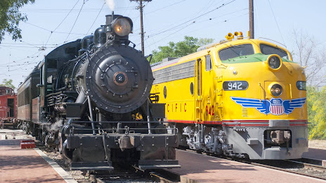
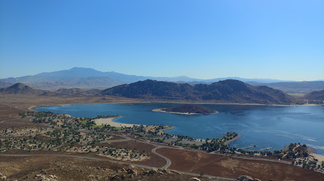
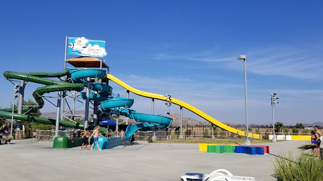
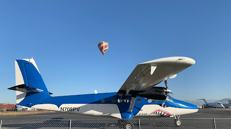
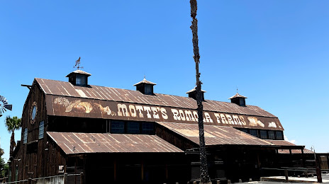
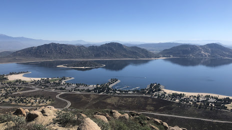
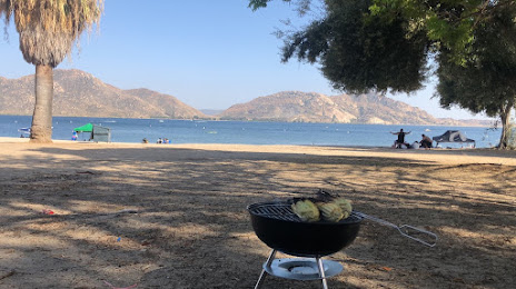
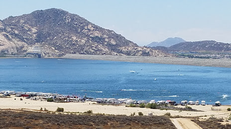
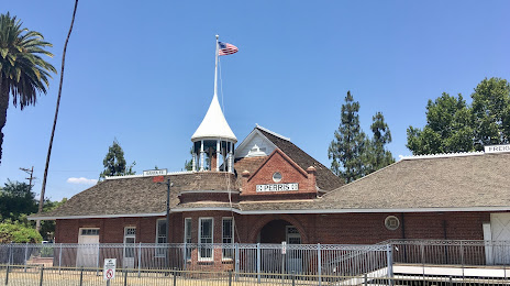
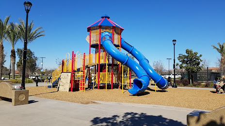
Attractions


Distance to the capital
Distance to the capital (Washington) is about — 3616 km.