 Streator
Franklin Park
Downers Grove
Leominster
Westmont
Folsom
Freer
Oak Brook
Heyworth
Morehead
Issaquah
Perris
Logansport
Sturtevant
South Bend
Albion
Atlanta
Hickory
Traverse City
Streator
Franklin Park
Downers Grove
Leominster
Westmont
Folsom
Freer
Oak Brook
Heyworth
Morehead
Issaquah
Perris
Logansport
Sturtevant
South Bend
Albion
Atlanta
Hickory
Traverse City
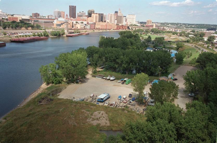
Saint Paul on the map, United States
Where is located Saint Paul
Exact location — Saint Paul, Ramsey County, Minnesota, United States, marked on the map with a red marker.
Coordinates
Saint Paul, United States coordinates in decimal format: latitude — 44.9537029, longitude — -93.0899578. When converted to degrees, minutes, seconds Saint Paul has the following coordinates: 44°57′13.33 north latitude and -93°5′23.85 east longitude.
Population
Saint Paul, Ramsey County, Minnesota, United States, according to our data the population is — 274,792 residents, which is about 0.1% of the total population of the country (United States).
Comparison of the population on the graph:
Exact time
Time zone for this location Saint Paul — UTC -5 America/Chicago. Exact time — friday, 4 april 2024 year, 17 h. 01 minute.
Sunrise and sunset
Saint Paul, sunrise and sunset data for a date — friday 19.04.2024.
| Sunrise | Sunset | Day (duration) |
|---|---|---|
| 06:22 -2 minutes | 19:59 +1 minute | 13 h. 36 minutes. +3 minutes |
You can control the scale of the map using the auxiliary tools to find out exactly where it is located Saint Paul. When you change the scale of the map, the width of the ruler also changes (in kilometers and miles).
Nearby cities
The largest cities that are located nearby:
- Minneapolis — 14 km
- Sioux Falls — 331 km
- Madison — 363 km
- Des Moines — 373 km
- Green Bay — 403 km
- Rockford — 441 km
- Milwaukee — 469 km
- Omaha — 475 km
- Aurora — 529 km
- Naperville — 540 km
- Lincoln — 547 km
- Peoria — 555 km
- Joliet — 562 km
- Chicago — 564 km
- Winnipeg
 (Canada) — 618 km
 - Grand Rapids — 640 km
- North Kansas City — 655 km
- Independence — 658 km
- Kansas City — 660 km
Distance to neighboring capitals:
- Ottawa (Canada) — 1362 km
- Mexico City
 (Mexico) — 2893 km
 - Belmopan
 (Belize) — 3107 km
 - Nuuk
 (Greenland) — 3319 km
 - Guatemala City
 (Guatemala) — 3383 km
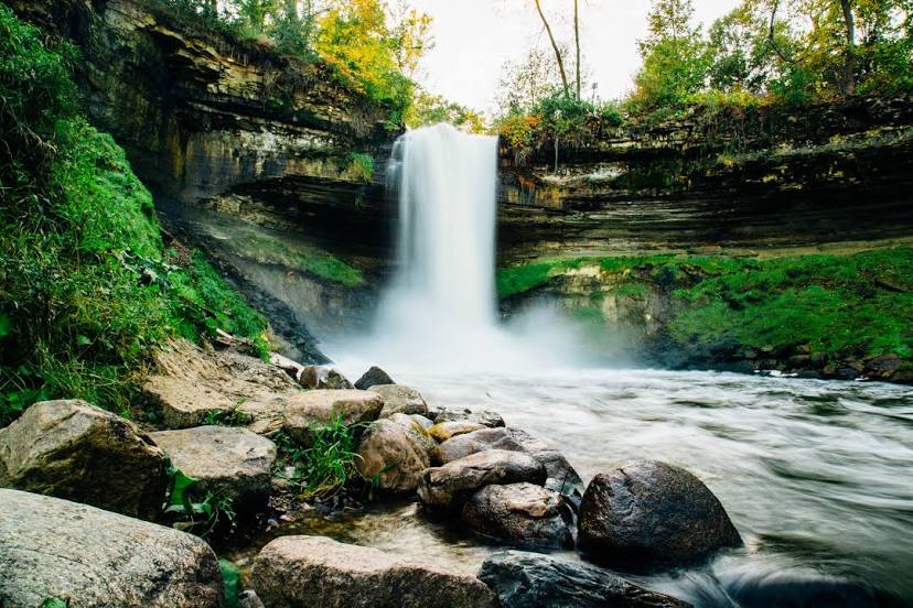
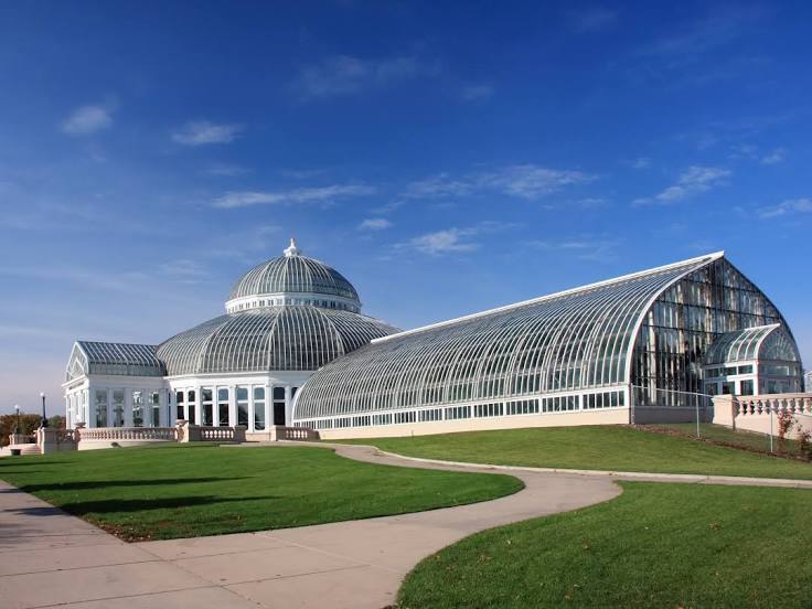
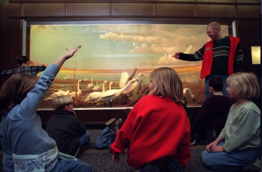
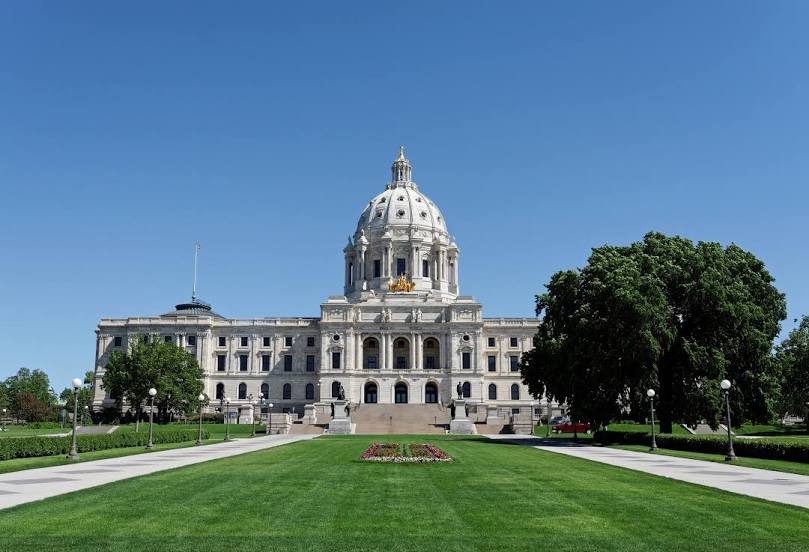
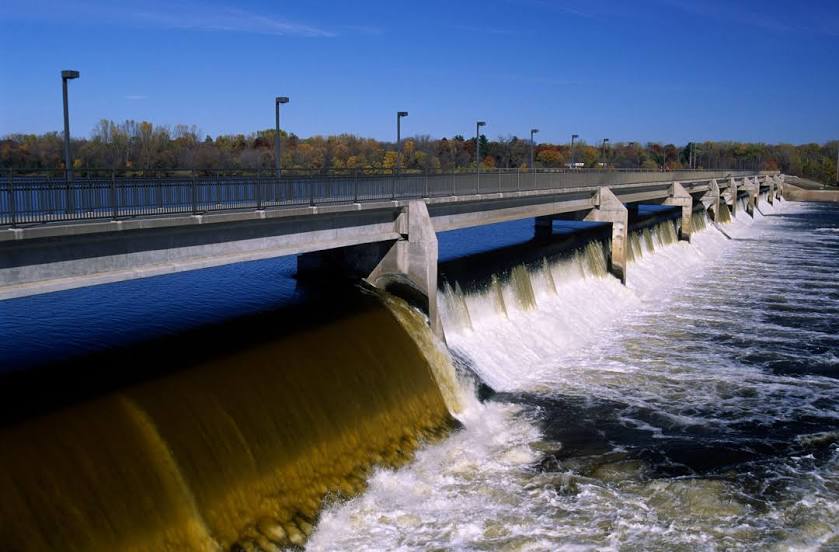
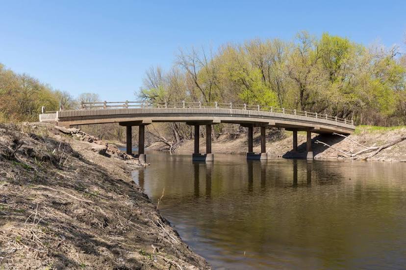
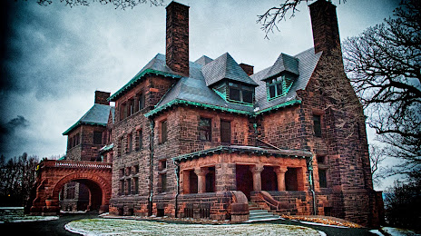
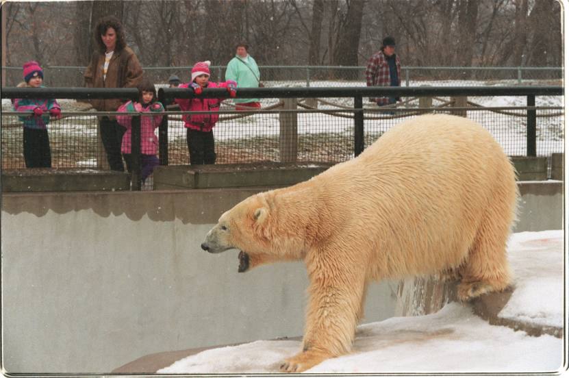
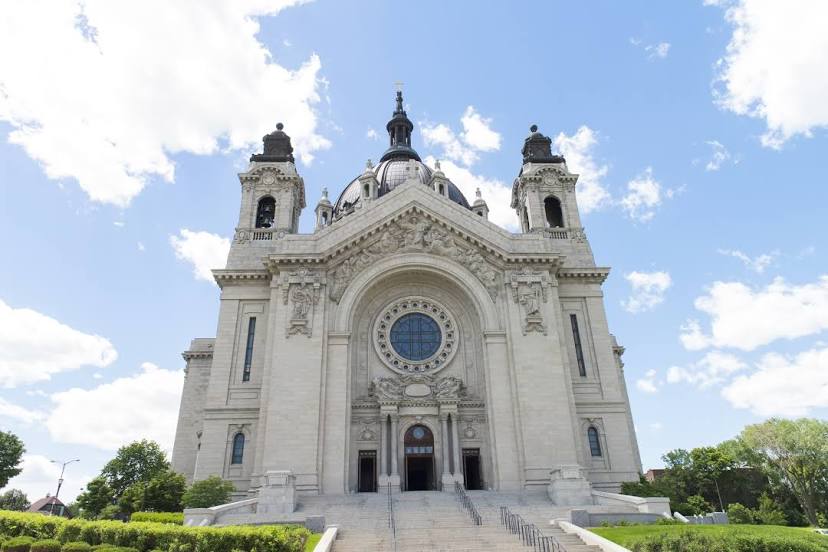
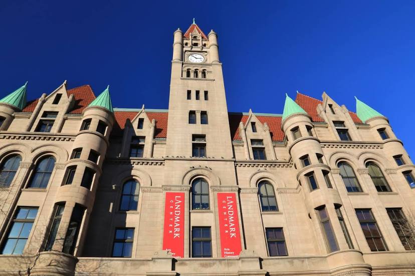
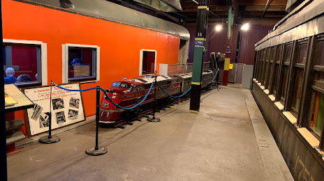
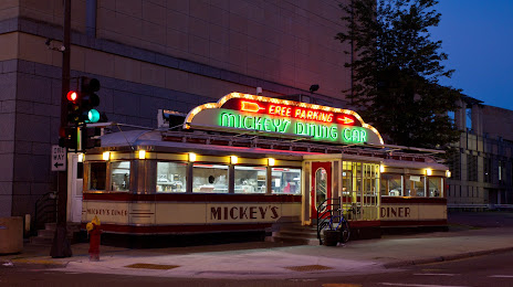
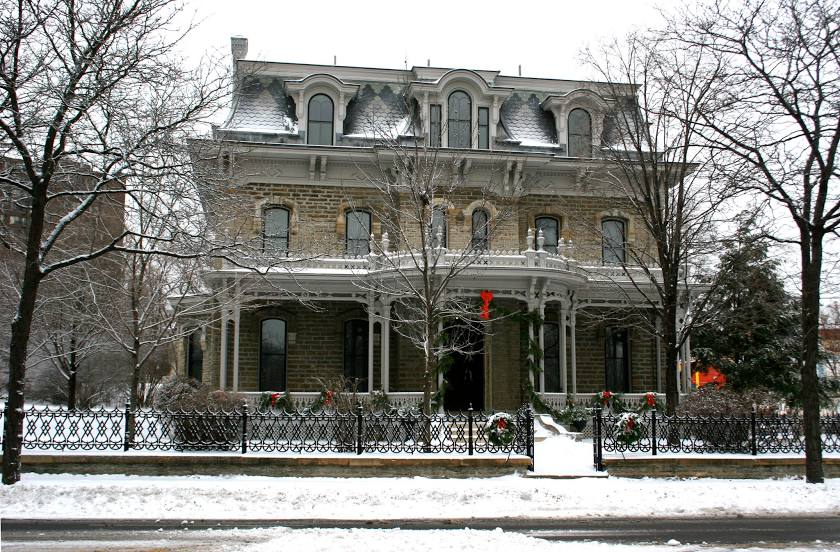
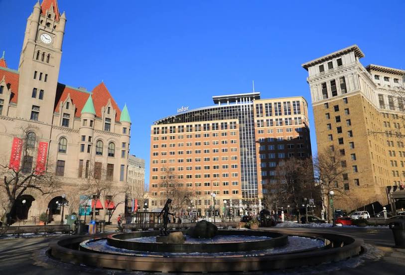
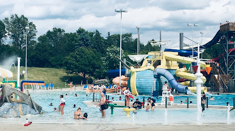
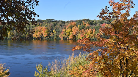
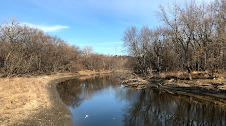
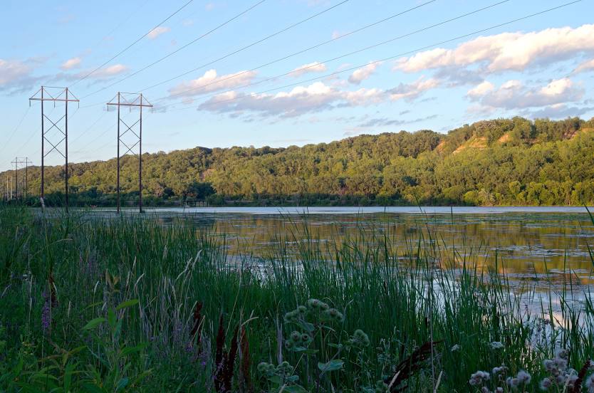
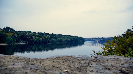
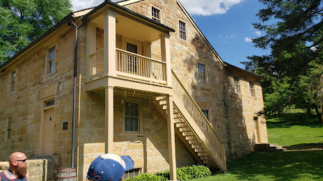
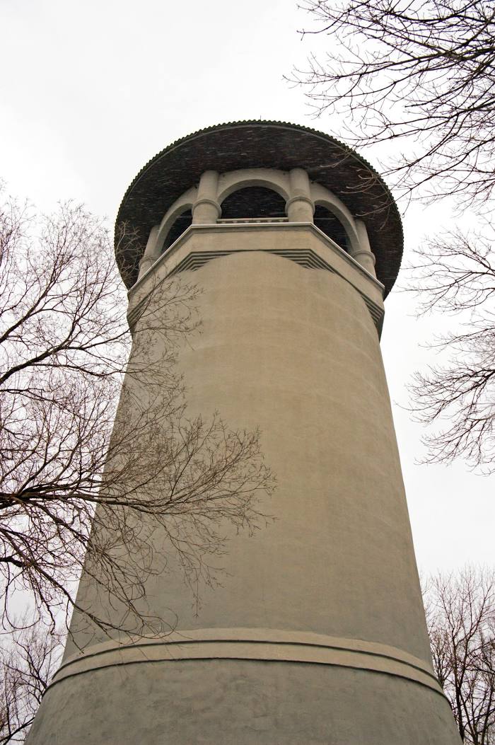
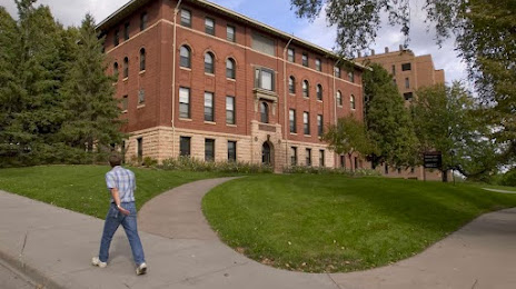
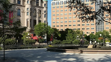
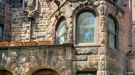
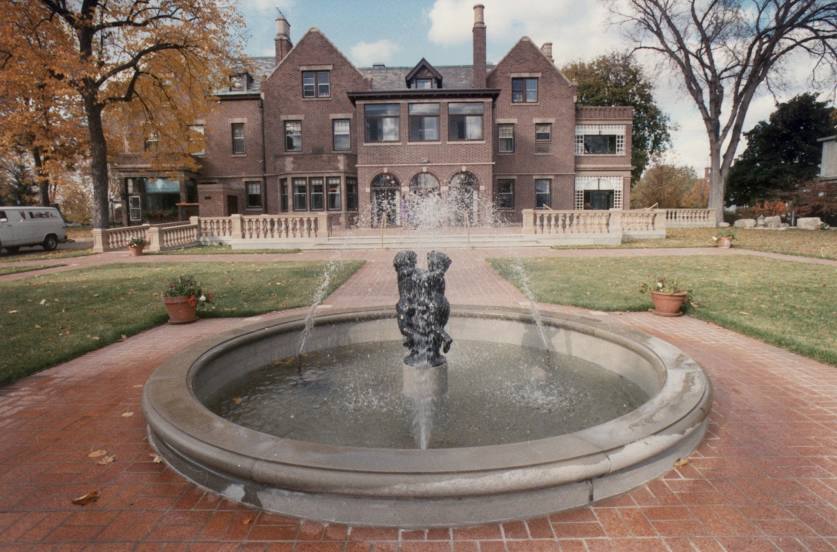
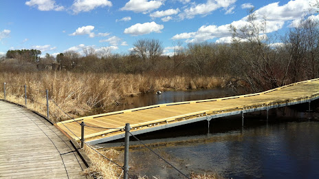
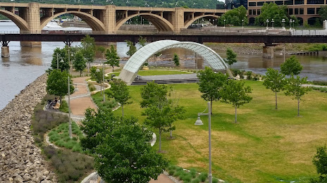
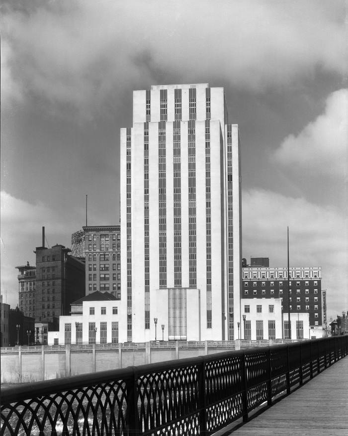
Attractions


Distance to the capital
Distance to the capital (Washington) is about — 1485 km.