 Downers Grove
Leominster
Westmont
Folsom
Freer
Oak Brook
Heyworth
Elmhurst
Bangor
Crookston
Saint Clair Shores
Morehead
Issaquah
Perris
Logansport
Sturtevant
South Bend
Albion
Atlanta
Downers Grove
Leominster
Westmont
Folsom
Freer
Oak Brook
Heyworth
Elmhurst
Bangor
Crookston
Saint Clair Shores
Morehead
Issaquah
Perris
Logansport
Sturtevant
South Bend
Albion
Atlanta
Evansville on the map, United States
Where is located Evansville
Exact location — Evansville, Vanderburgh County, Indiana, United States, marked on the map with a red marker.
Coordinates
Evansville, United States coordinates in decimal format: latitude — 37.9715592, longitude — -87.5710898. When converted to degrees, minutes, seconds Evansville has the following coordinates: 37°58′17.61 north latitude and -87°34′15.92 east longitude.
Population
Evansville, Vanderburgh County, Indiana, United States, according to our data the population is — 115,474 residents, which is about 0% of the total population of the country (United States).
Comparison of the population on the graph:
Exact time
Time zone for this location Evansville — UTC -5 America/Chicago. Exact time — wednesday, 4 april 2024 year, 23 h. 39 minutes.
Sunrise and sunset
Evansville, sunrise and sunset data for a date — wednesday 17.04.2024.
| Sunrise | Sunset | Day (duration) |
|---|---|---|
| 06:13 -2 minutes | 19:25 +1 minute | 13 h. 12 minutes. +3 minutes |
You can control the scale of the map using the auxiliary tools to find out exactly where it is located Evansville. When you change the scale of the map, the width of the ruler also changes (in kilometers and miles).
Nearby cities
The largest cities that are located nearby:
- Louisville — 160 km
- Clarksville — 161 km
- Nashville — 212 km
- Indianapolis — 232 km
- Saint Louis — 238 km
- Cincinnati — 291 km
- Peoria — 345 km
- Huntsville — 369 km
- Chattanooga — 383 km
- Memphis — 384 km
- Springfield — 385 km
- Joliet — 395 km
- Knoxville — 395 km
- Fort Wayne — 399 km
- Naperville — 421 km
- Aurora — 423 km
- South Bend — 424 km
- Chicago — 432 km
- Columbus — 446 km
Distance to neighboring capitals:
- Ottawa
 (Canada) — 1286 km
 - Belmopan
 (Belize) — 2308 km
 - Mexico City
 (Mexico) — 2346 km
 - Guatemala City
 (Guatemala) — 2614 km
 - Nuuk
 (Greenland) — 3745 km
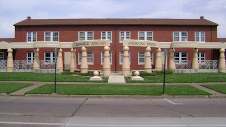
Attractions


Distance to the capital
Distance to the capital (Washington) is about — 923 km.