 Folsom
Freer
Oak Brook
Heyworth
Elmhurst
Bangor
Joliet
Lombard
Melrose Park
Minneapolis
Vienna
Warner Robins
Crookston
Saint Clair Shores
Morehead
Issaquah
Perris
Logansport
Sturtevant
Folsom
Freer
Oak Brook
Heyworth
Elmhurst
Bangor
Joliet
Lombard
Melrose Park
Minneapolis
Vienna
Warner Robins
Crookston
Saint Clair Shores
Morehead
Issaquah
Perris
Logansport
Sturtevant
Auburn Hills on the map, United States
Where is located Auburn Hills
Exact location — Auburn Hills, Oakland County, Michigan, United States, marked on the map with a red marker.
Coordinates
Auburn Hills, United States coordinates in decimal format: latitude — 42.6875323, longitude — -83.2341028. When converted to degrees, minutes, seconds Auburn Hills has the following coordinates: 42°41′15.12 north latitude and -83°14′2.77 east longitude.
Population
Auburn Hills, Oakland County, Michigan, United States, according to our data the population is — 20,816 residents, which is about 0% of the total population of the country (United States).
Comparison of the population on the graph:
Exact time
Time zone for this location Auburn Hills — UTC -4 America/New_York. Exact time — saturday, 4 april 2024 year, 09 h. 18 minutes.
Sunrise and sunset
Auburn Hills, sunrise and sunset data for a date — saturday 20.04.2024.
| Sunrise | Sunset | Day (duration) |
|---|---|---|
| 06:45 -2 minutes | 20:17 +1 minute | 13 h. 30 minutes. +3 minutes |
You can control the scale of the map using the auxiliary tools to find out exactly where it is located Auburn Hills. When you change the scale of the map, the width of the ruler also changes (in kilometers and miles).
Nearby cities
The largest cities that are located nearby:
- Sterling Heights — 20 km
- Warren — 26 km
- Detroit — 42 km
- Windsor
 (Canada) — 44 km
 - Flint — 51 km
- Ann Arbor — 61 km
- Lansing — 107 km
- Toledo — 116 km
- London (Canada) — 164 km
- Cleveland — 183 km
- Grand Rapids — 199 km
- Aurora — 218 km
- Akron — 228 km
- Waterloo (Canada) — 234 km
- Kitchener (Canada) — 236 km
- Fort Wayne — 238 km
- Cambridge (Canada) — 246 km
- Guelph (Canada) — 257 km
- South Bend — 273 km
Distance to neighboring capitals:
- Ottawa (Canada) — 674 km
- Belmopan
 (Belize) — 2877 km
 - Mexico City
 (Mexico) — 2986 km
 - Nuuk
 (Greenland) — 3109 km
 - Guatemala City
 (Guatemala) — 3200 km
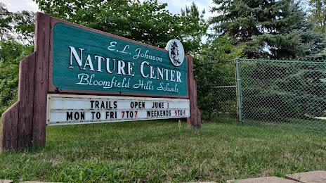
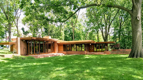
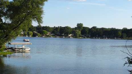
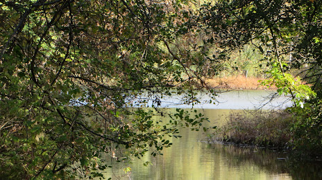
Attractions


Distance to the capital
Distance to the capital (Washington) is about — 670 km.